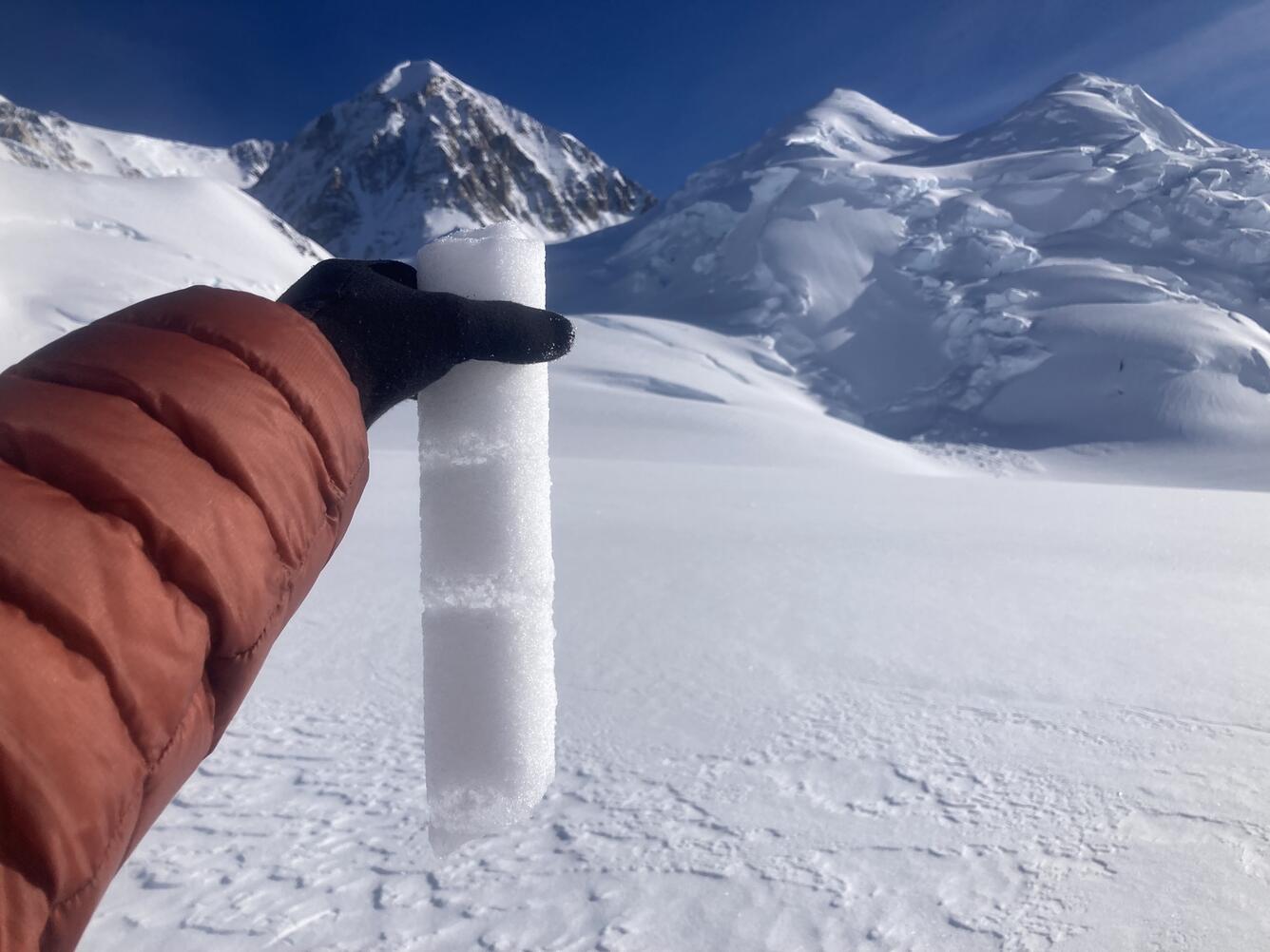
Internal accumulation layers on Kahiltna Glacier
Detailed Description
A core section from Kahiltna Glacier at 3,055 m (10,023 feet) on September 30, 2024, showing ice layers in finegrained snow. These "internal accumulation" layers form when water from surface melt percolates into the snowpack and refreezes.
Sources/Usage
Public Domain.
Photographer: Emily Baker (former USGS)
Related
Glaciers and Landscape Change
Mountain glaciers are dynamic reservoirs of frozen water, deeply interconnected with their surrounding ecosystems. Glacier change in North America has major societal impacts, including to water resources, natural hazard risk, tourism disruption, fisheries, and global sea level change. Understanding and quantifying precise connections between changing glaciers, the surrounding landscape and climate...
Glacier-Wide Mass Balance and Compiled Data Inputs: USGS Benchmark Glaciers Glacier-Wide Mass Balance and Compiled Data Inputs: USGS Benchmark Glaciers
Since the late 1950s, the USGS has maintained a long-term glacier mass-balance program at key North American glaciers. Measurements began on South Cascade Glacier, WA in 1958, expanding to Gulkana and Wolverine glaciers, AK in 1966, and later Sperry Glacier, MT in 2005. The Juneau Icefield Research Program has measured glacier mass balance on Lemon Creek since the mid-1940s, with USGS...
High Altitude Weather Station Data at USGS Benchmark Glaciers High Altitude Weather Station Data at USGS Benchmark Glaciers
Since the late 1950s, the USGS has maintained a long-term glacier mass-balance program at three North American glaciers. Measurements began on South Cascade Glacier, WA in 1958, expanding to Gulkana and Wolverine glaciers, AK in 1966, and later Sperry Glacier, MT in 2005. Additional measurements have been made on Lemon Creek Glacier, AK to compliment data collected by the Juneau Icefield...