
Landsat 5 Captures MSS Data

Detailed Description
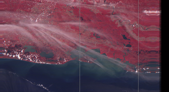
The Multispectral Scanner (MSS) on board Landsat 5 satellite captured imagery of the southern Louisiana coastline on April 10, 2012, after the sensor was turned back on after being off for nearly a dozen years. This image is a portion of the scene from WRS-2 Path 23 Row 40. The MSS sensor collected nearly 15,000 scenes from 2012 to January 7, 2013.
Sources/Usage
Public Domain.