
Landsat 8 Montana State Mosaic
Detailed Description
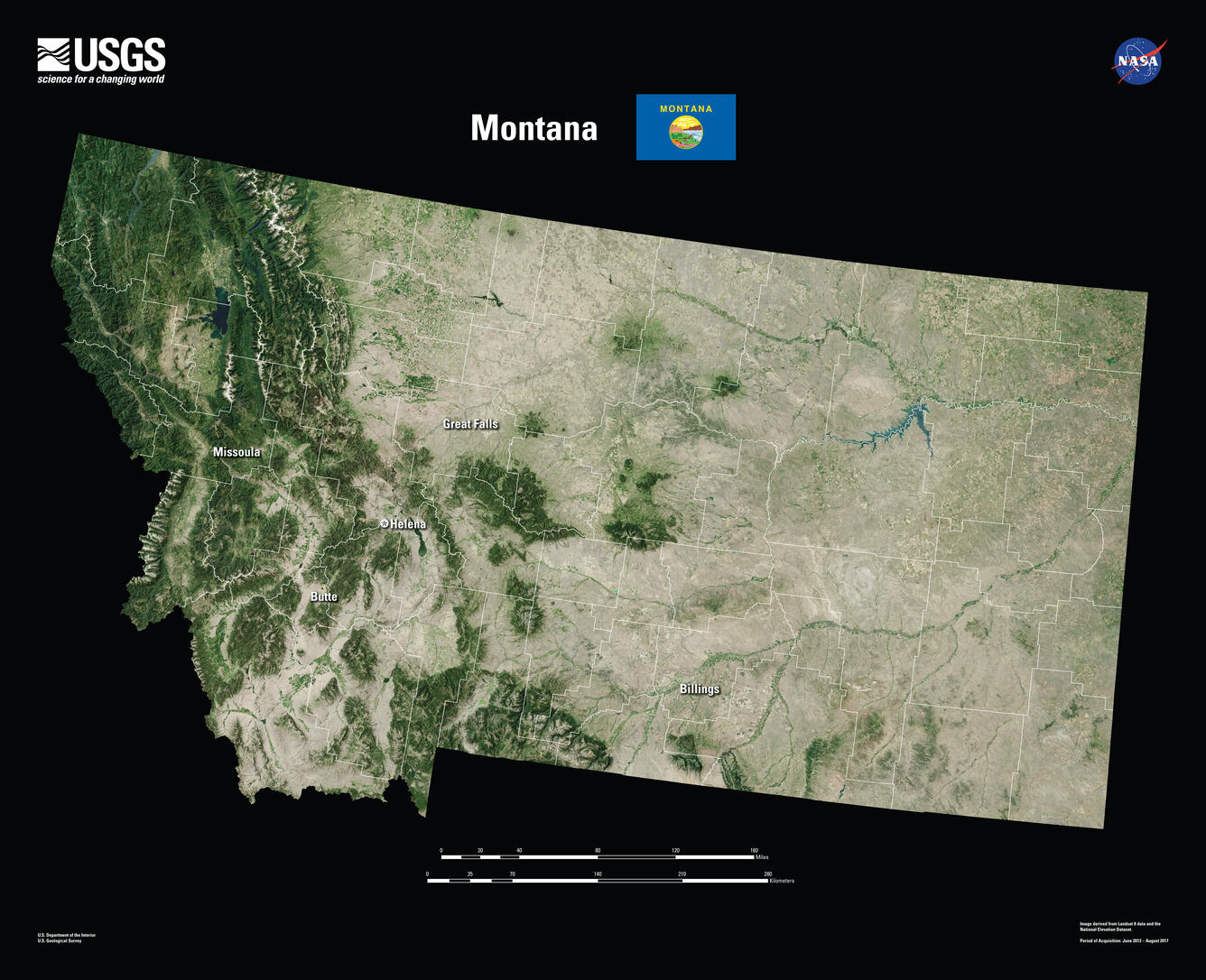
With a total area of 147,040 square miles, Montana is the fourth largest state in the country. But it has the forty-fourth largest population. Montana has an average population density of seven people per square mile.
Capital Helena
Image Source Landsat 8
Population 1,084,225
Number of Pixels 423,145,810
Visit Landsat Benefits, State By State to learn more about how Landsat brings science to your state.
Sources/Usage
Public Domain.
public domain