
Landsat Benefits, State By State
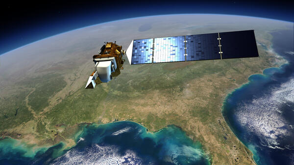
The Landsat Satellite Program returns billions of dollars in economic value to all 50 United States. The satellites show us how our landscape is changing. Land managers, water resource managers, and many more industries use Landsat data to map wildfires, monitor urban growth, and save lives during natural disasters, to name a few examples.
Landsat satellites contribute to the health and well-being of human life as well as our Nation’s land resources and enables us to better understand the scope, nature, and speed of change to the natural and man-built environment. Landsat’s overall economic valuation was estimated at \$25.6 billion in 2023.
Landsat is the most widely used land remote sensing data source within Federal civilian agencies. Information from Landsat contributes to day-to-day decisions on land, water, and resource use that protect life and property; safeguard the environment; advance science, technology, and education; support climate change resiliency; and grow the U.S. economy.
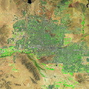
Landsat satellite imagery provides a landscape-level view of land surface changes and is used by Local, State, Tribal, and Federal agencies to make informed decisions for the best land resource management practices.
Landsat’s 50-year record and gold standard rating for data quality have made its archive an indispensable tool for GIS-based research. Landsat 9 carries on that tradition of excellence, maintaining the program’s continuity for its myriad users and uses.
Check out how Landsat is used in your State below.
Find Your State


Related
Landsat’s Economic Value increases to $25.6 Billion in 2023 Landsat’s Economic Value increases to $25.6 Billion in 2023
Related