
Landsat satellite image of submerged aquatic vegetation, Alaska
By Alaska Science Center
September 2009 (approx.)
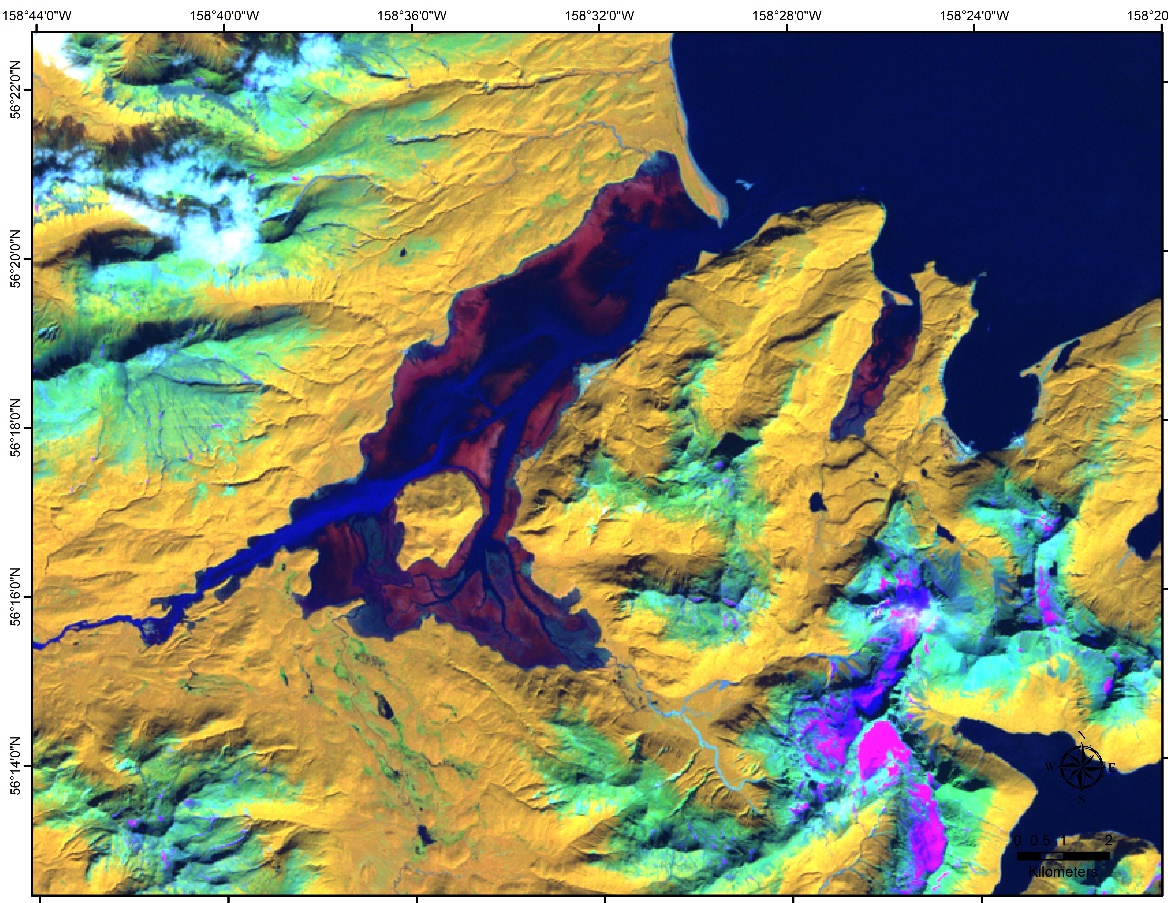
Detailed Description
This Landsat satellite imagery was acquired in August 2009, from the USGS-Earth Resource and Observation Science Center web page, https://www.usgs.gov/centers/eros/data-tools. This Landsat Enhanced Thematic Mapper Plus satellite image was augmented to detect submerged aquatic vegetation in Chignik Lagoon and Mud Bay, Alaska.
Sources/Usage
Public Domain.