
Look Angles and Coverage Area
By Earth Resources Observation and Science (EROS) Center
2005 (approx.)

Detailed Description
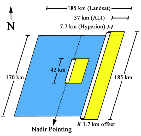
The graphic relative footprint of a Hyperion (white) and ALI (yellow) 42 km and 185 km DAR, with respect to a Landsat WRS-2 row (blue).
Sources/Usage
Public Domain.