
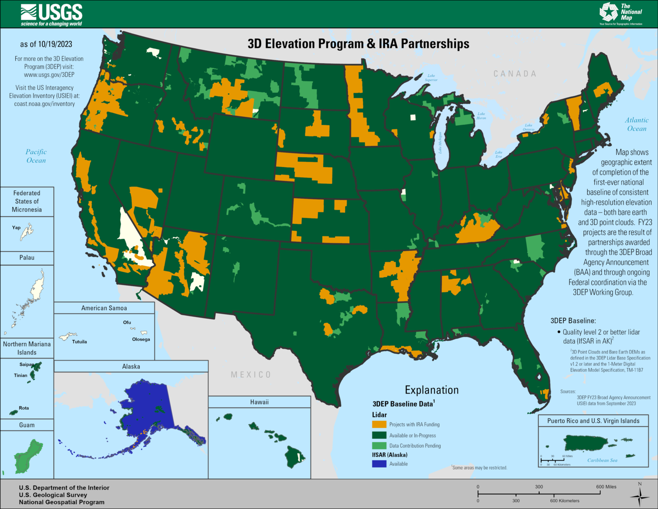
Map of FY23 3D Elevation Program projects supported by Inflation Reduction Act funds.
Detailed Description
Map shows geographic extent of the first-ever national baseline of consistent high-resolution elevations – both bare earth and 3D point clouds. FY23 projects are the result of partnership projects awarded through the 3DEP Broad Agency Announcement (BAA) and through on-going Federal coordination via the 3DEP working group.
Sources/Usage
Public Domain.