



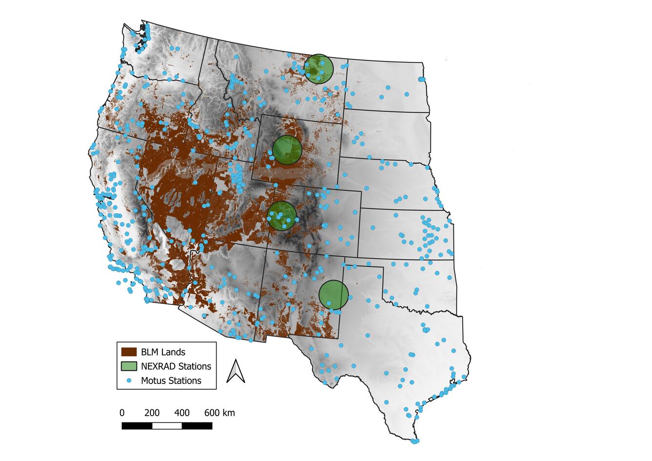
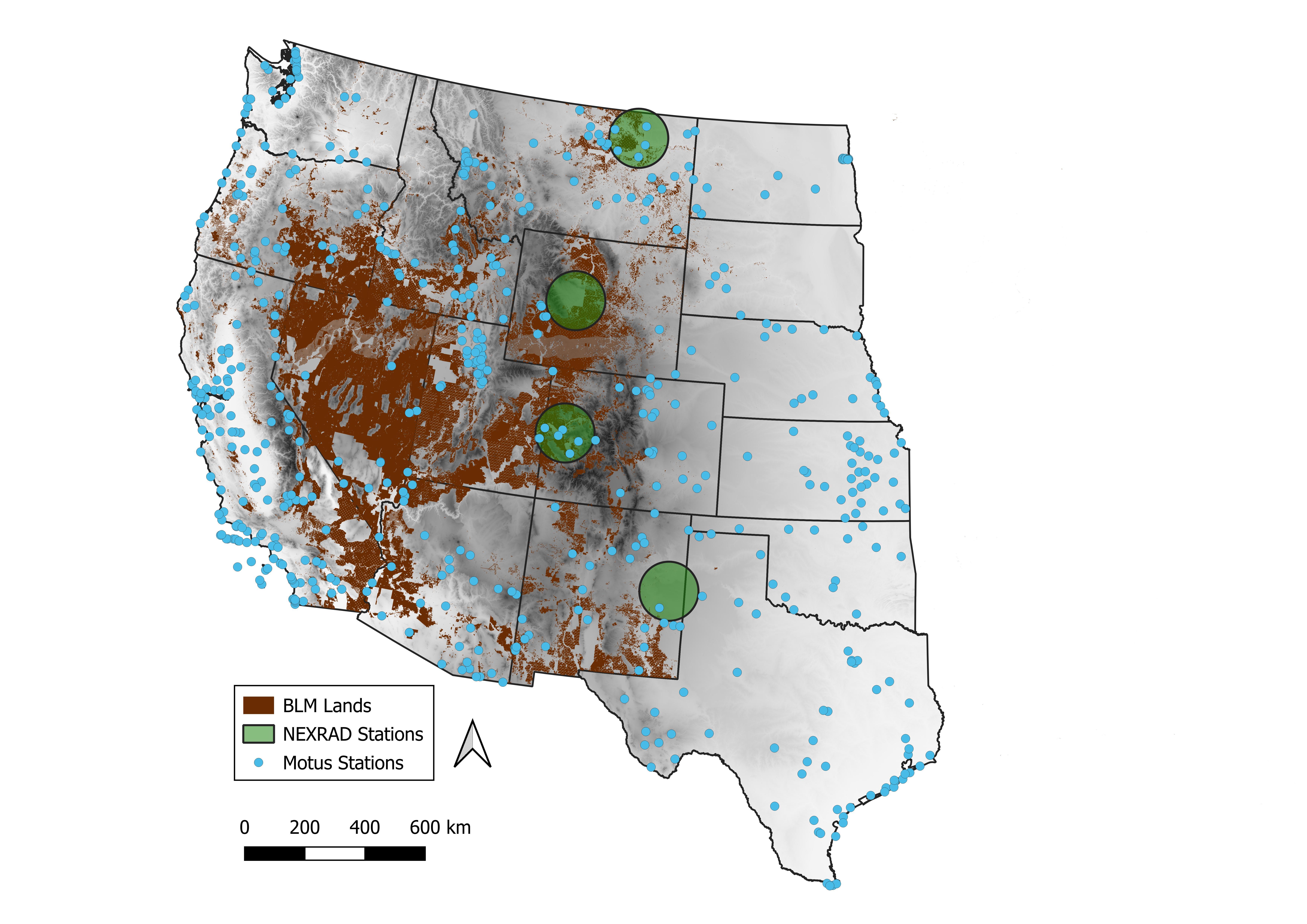
Map of lands under BLM management_ NEXRAD Stations_ and Motus Stations in western U.S.
By Wetland and Aquatic Research Center
June 2026 (approx.)


Detailed Description
Map of the western United States illustrating lands under BLM management as well as locations of Next Generation Weather Surveillance Radars (NEXRAD Stations) and Motus Wildlife Tracking Network stations (Motus Stations) that will be leveraged to understand migratory bird movements and distributions.
BLM lands are show in brown, NEXRAD Stations and their range are depicted by large green dots, and Motus Stations are indicated by light blue dots.
Sources/Usage
Public Domain.
Related
Movements and Migratory Stopovers Among Birds in the Western U.S. Using Networked Weather Radar and Motus Wildlife Tracking Data
USGS scientists from the Wetland and Aquatic Research Center and the Western Ecological Research Center are collaborating to synthesize data on migratory bird use of Bureau of Land Management lands in the western U.S. to support permitting decisions.
Related
Movements and Migratory Stopovers Among Birds in the Western U.S. Using Networked Weather Radar and Motus Wildlife Tracking Data
USGS scientists from the Wetland and Aquatic Research Center and the Western Ecological Research Center are collaborating to synthesize data on migratory bird use of Bureau of Land Management lands in the western U.S. to support permitting decisions.