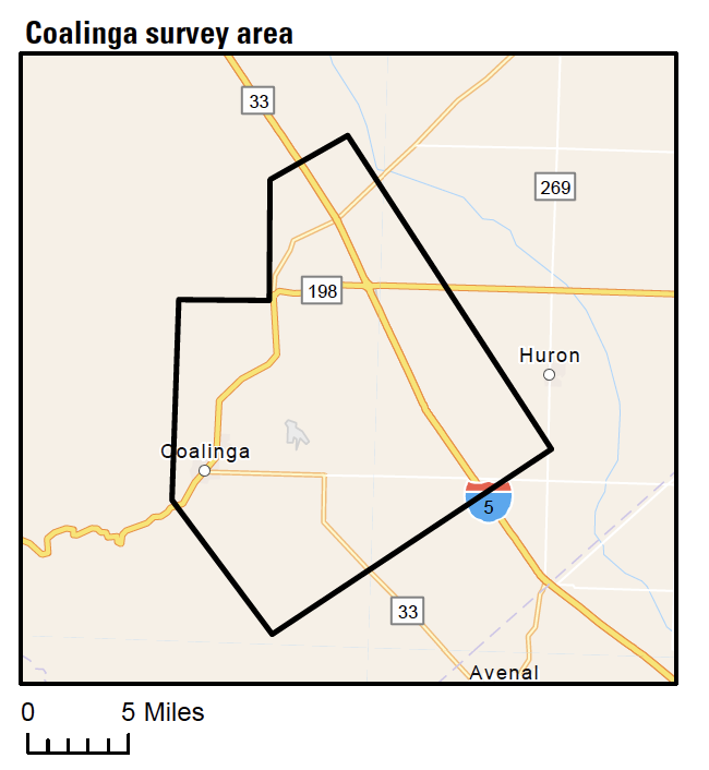
Map of low-flying helicopter to survey of Coalinga

Detailed Description
This map shows where the Coalinga airborne geophysical surveys is planned.
Sources/Usage
Public Domain.

This map shows where the Coalinga airborne geophysical surveys is planned.
Public Domain.