
Mapping the Bay
Detailed Description
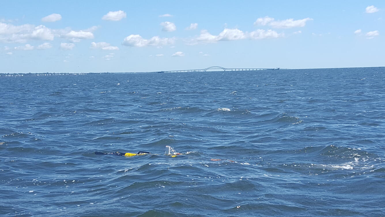
This autonomous instrument reduces the time and manpower traditionally needed for manned-boat surveys. Because geologic, biologic, hydraulic, and chemical data are collected simultaneously; the datasets allow for a systems-based approach to analysis.
Sources/Usage
Public Domain.