
Marconi Beach CoastCam Maintenance

Detailed Description
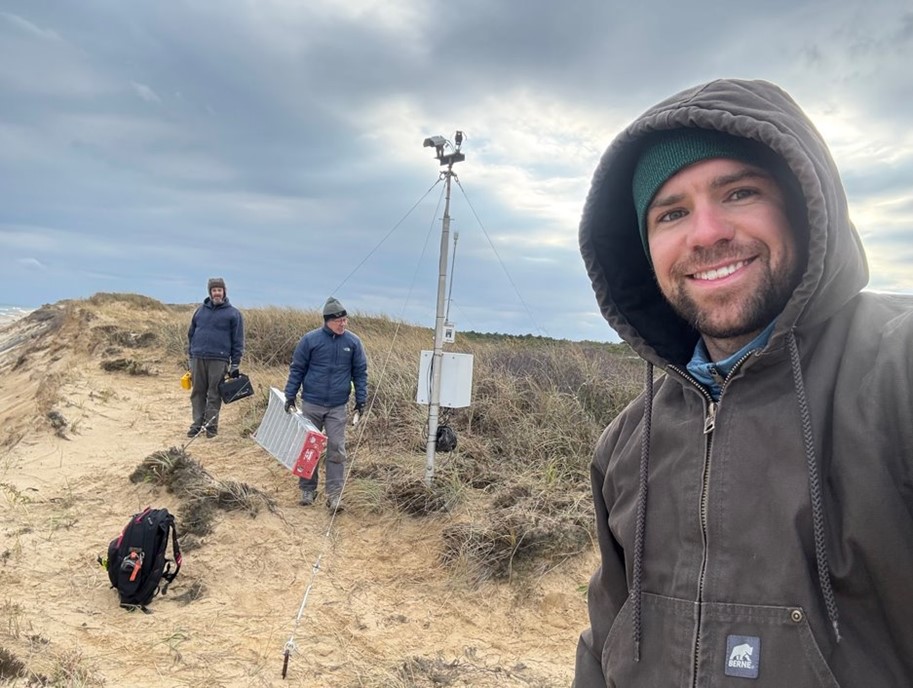
The USGS uses a nationwide network of coastal observing cameras (CoastCams) to monitor coastal conditions in near real-time and support research on a variety of coastal processes and hazards. The data are used to evaluate and improve the real-time forecasts made in the Total Water Level and Coastal Change Forecast Viewer. Since 2021, USGS scientists have worked collaboratively with Cape Cod National Seashore to maintain a CoastCam station at Marconi Beach in Wellfleet, Massachusetts. The cameras are located on the edge of a 20-meter high buff. The bluff has been eroding at a long-term rate of about 2-meters per year, however, in recent years it has retreated as much as 10-meters. The cameras are moved in accordance with the bluff erosion as needed, and in late November, it was time to move them for the third time. Whenever the USGS team moves the cameras, they need to determine the new location and look direction. They do this by placing targets in the field of view, surveying the target locations, and conducting photogrammetry.
Sources/Usage
Public Domain.