Woods Hole Coastal and Marine Science Center Newsletter: Spring 2026
Our Science Stories
-

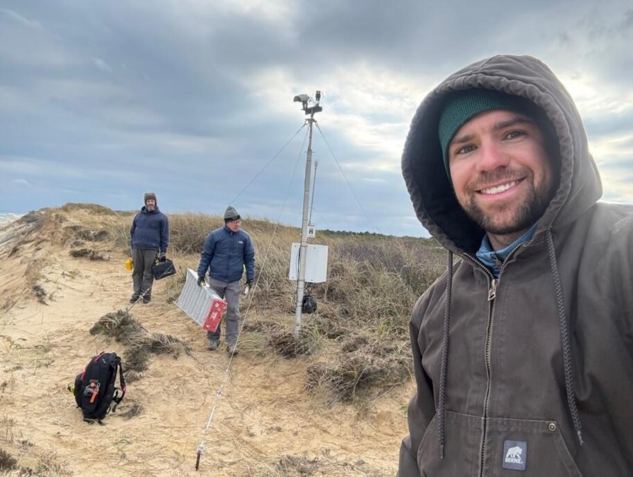
A Path to National-Scale Coastal Change Projections A Path to National-Scale Coastal Change Projections
A new USGS-led study reviews the current information and products available to inform what, when, and where coastal change may occur in the future and provides recommendations for improving predictions on a national scale.
-
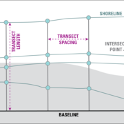
Your Favorite Software for Calculating Shoreline Change Just Got Better Your Favorite Software for Calculating Shoreline Change Just Got Better
Digital Shoreline Analysis System (DSAS) version 6.1 is now available, offering new and reinstated features such as more data export options, enhanced editing tools and customizable symbology, and the ability to forecast shoreline positions.
-
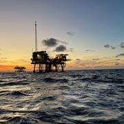
GeoPackage of Seabed Hazards: A Resource for Safeguarding Offshore Infrastructure GeoPackage of Seabed Hazards: A Resource for Safeguarding Offshore Infrastructure
The USGS and the Bureau of Safety and Environmental Enforcement developed a GeoPackage of seabed hazards for the U.S. Atlantic and Pacific continental shelves. By visualizing hazards in a spatial context, this resource helps users manage and protect essential offshore infrastructure.
New Web Pages
-
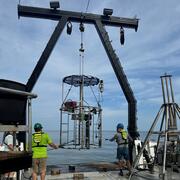
Offshore Analysis of Seafloor Instability and Sediments (OASIS)
The Offshore Analysis of Seafloor Instability and Sediments (OASIS) project is an interagency partnership coordinated by the Bureau of Ocean Energy Management to better understand underwater mudslides and their impacts in the Mississippi River Delta Front. The USGS plays a central role in the project, contributing long-term expertise in coastal and marine geology, seafloor mapping, and geohazard...
-
National Shoreline Change Data Publication Catalog
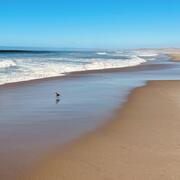
The U.S. Geological Survey (USGS) maintains shoreline positions for the United States from older sources, such as aerial photos and topographic surveys, and contemporary sources like digital elevation models (DEMs) and lidar elevation point cloud data. It's important to maintain, and make available, records of historical shoreline positions to allow monitoring of change over time, and to identify...
-
Coastal and Marine Science in Long Island Sound
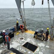
Long Island Sound is a highly productive estuary and vital natural resource bordering New York and Connecticut. It’s essential for its massive economic impact, generating billions annually by supporting recreation, fisheries, and transportation, as well as its biodiversity, serving as a critical habitat for thousands of marine species. USGS research in Long Island Sound helps protect these...
Recent Publications, Data Releases, and More
Publications
Ernst, S., 2026, Woods Hole Coastal and Marine Science Center—2024 annual report: U.S. Geological Survey Circular 1564, 39 p., https://doi.org/10.3133/cir1564.
Lentz, E.E., Passeri, D.L., Zeigler, S.L., White, K., Wahl, T., Stoltz, A.D., Pendleton, E.A., Misra, S., Meckley, T.D., Hamlington, B., Ganju, N.K., Cravens, A.E., Carr, J., and Buckel, C.A., 2026, Challenges and opportunities for national-scale projections of future coastal landscape change: Earth's Future, 14, https://doi.org/10.1029/2024EF005833.
Ralston, D. K., Orton, P. M., Warner, J. C., & Kasaei, S. (2026). Storm surge barriers reduce seaward sediment supply to lagoonal estuaries. Earth's Future, 14, e2025EF007875. https://doi.org/10.1029/2025EF007875.
Tzu-Ting Chen, Matthew A. Milone, Jason Chaytor, James H. Miller, Gopu R. Potty, William Hodgkiss, Ying-Tsong Lin; Acoustic measurements and modeling of sub-bottom layers on the summit of the Atlantis II Seamount. JASA Express Lett. 1 May 2026; 6 (5): 056001. https://doi.org/10.1121/10.0043836.
Yin, D., Defne, Z., Ganju, N. K., Warner, J. C., Ralston, D. K., Harris, C. K., & Li, B. (2026). Spatial heterogeneity of salt marsh vulnerability to sea-level rise: Dual controls of hydrological setting and salinity regime. Geophysical Research Letters, 53, e2025GL119461. https://doi.org/10.1029/2025GL119461.
Data Releases
Ackerman, K.V., Defne, Z., and Ganju, N.K., 2026, Geospatial characterization of Delaware Bay-facing New Jersey salt marshes: U.S. Geological Survey data release, https://doi.org/10.5066/P13IBTSL.
Andrews, B.D., Baldwin, W.E., Ackerman, S.D., Worley, C.R., Moore, E.M., Nichols, A.R., Berube, P.J., Huntley, E.C., and Brothers, L.L., 2026, High-resolution geophysical and sampling data collected in Nantucket Sound Massachusetts in the vicinity of Horseshoe Shoal, during USGS Field Activity 2023-001-FA: U.S. Geological Survey data release, https://doi.org/10.5066/P14NWTX8.
Ganju, N.K., Dickhudt, P.J., Montgomery, E.T., Brennand, P., Derby, R.K, Brooks, T.W., Martini, M.A., Borden, J., and Baldwin, S., 2012, Oceanographic and Water-Quality Measurements-- Blackwater National Wildlife Refuge, Maryland, 2011 (ver. 1.1, September 2015): U.S. Geological Survey data release, https://doi.org/10.5066/P14HXWKQ.
Henderson, R.E., Kratzmann, M.G., Heslin, J. L., Farris, A.S., Himmelstoss, E.A., Bartlett, M.K., Thieler, E.R., Weber, K.M., and Lentz, E.E., 2026, USGS National Shoreline Change - A compilation of published shoreline change rates (1800s-2010s) for the contiguous United States: U.S. Geological Survey data release, https://doi.org/10.5066/P14MTEZ3.
O'Keefe Suttles, J.A., Eagle, M.J., and Valley, S., 2026, Collection, analysis, and age-dating of sediment cores from coastal wetlands in Oyster Bay, Alabama, 2021: U.S. Geological Survey data release, https://doi.org/10.5066/P1XVJEZG.
Over, J.R., Sherwood, C.R., Marsjanik, E.D., Borden, J.S., Martini, M.A., and Lange, A.M.Z., 2026, USGS CoastCam CACO-01 at Head of the Meadow Beach, Cape Cod National Seashore, Massachusetts (2019-2025): Imagery and Calibration Data - Imagery Dataset: U.S. Geological Survey data release, https://doi.org/10.5066/P138GAKI.
Over, J.R., Sherwood, C.R., Marsjanik, E.D., Borden, J.S., Martini, M.A., and Lange, A.M.Z., 2026, USGS CoastCam CACO-01 at Head of the Meadow Beach, Cape Cod National Seashore, Massachusetts (2019 to 2024)—Imagery and Calibration Data: U.S. Geological Survey data release, https://doi.org/10.5066/P95C0DGM.
Padilla, A.M., and Waite, W.F., 2026, Dataset of rise velocities for gas bubbles with and without gas hydrate shells: U.S. Geological Survey data release, https://doi.org/10.5066/P9IG5BHE.
Software
Henderson, R.E., Farris, A.S., Kratzmann, M.G., Bartlett, M.K., Ergul, A., McAndrews, J., Cibaj, R., Zichichi, J.L., Himmelstoss, E.A., and Thieler, E.R., 2026, Digital Shoreline Analysis System version 6.1: U.S. Geological Survey software release, https://doi.org/10.5066/P1NHMJNC.
Miller, N.C., 2026, RROBSToolkit: A Python API for efficient reformatting and quality assessment of binary waveforms and metadata from USGS rapid-response ocean-bottom seismographs: U.S. Geological Survey software release, https://doi.org/10.5066/P13DCRCJ.
Maps
Valentine, P.C., and Cross, V.A., 2026, Seabed maps showing topography, ruggedness, backscatter intensity, sediment mobility, and the distribution of geologic substrates in quadrangle 3 of the Stellwagen Bank National Marine Sanctuary region offshore of Boston, Massachusetts: U.S. Geological Survey Scientific Investigations Map 3544, 8 sheets, scale 1:25,000, 30-p. pamphlet, https://doi.org/10.3133/sim3544.
Highlight: USGS in the Media
Panel Discussion and Article About Why Salt Marshes Matter
USGS scientist Neil Ganju participated in a panel conversation at Martha’s Vineyard Museum, called “Saving Our Salt Marshes: Why They Still Matter,” to discuss why salt marshes are essential to the health of our coastline. The panelists talked about changes in salt marsh ecology and what communities can do to help these important landscapes endure. A reporter from the Vineyard Gazette covered the event; read the article for free.
Visit the USGS Estuarine Processes, Hazards, and Ecosystems web page to learn more about Neil’s research.

Eos Research Spotlight on USGS-Led Coastal Landscape Change Study
Eos, the digital science news magazine published by the American Geophysical Union (AGU), included a research spotlight on a USGS-led study, titled “Challenges and Opportunities for National-Scale Projections of Future Coastal Landscape Change.” The paper reviews the scientific knowledge, methods, and products available to inform what, where, and when future coastal change may occur, and how this information can be developed in coordination with stakeholders to ensure usability. This information is critical for informing proactive strategies that protect coastal communities.
Check out the research spotlight.
Article About Studying Coastal Change on Cape Cod and Beyond
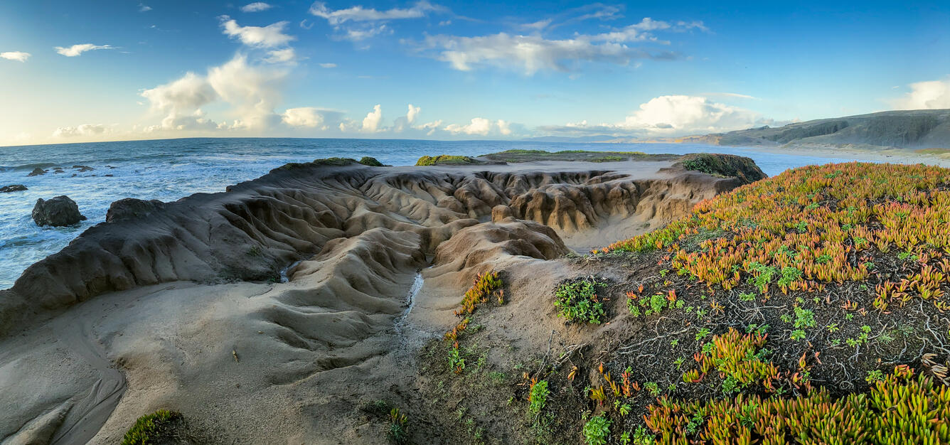
USGS coastal research at Marconi Beach was recently featured in the Cape Cod Times, highlighting how our CoastCams help monitor waves, shoreline change, and storm impacts along the Outer Cape. These real‑time observations play a key role in evaluating the USGS Total Water Level and Coastal Change Forecast model. The article highlights the value of this work for local communities and underscored Marconi Beach as an important site for improving coastal hazard forecasting.
Read the Cape Cod Times article. Not a subscriber? Visit the CoastCams web page to learn more.