
MercuryTopographicMap.png

Detailed Description
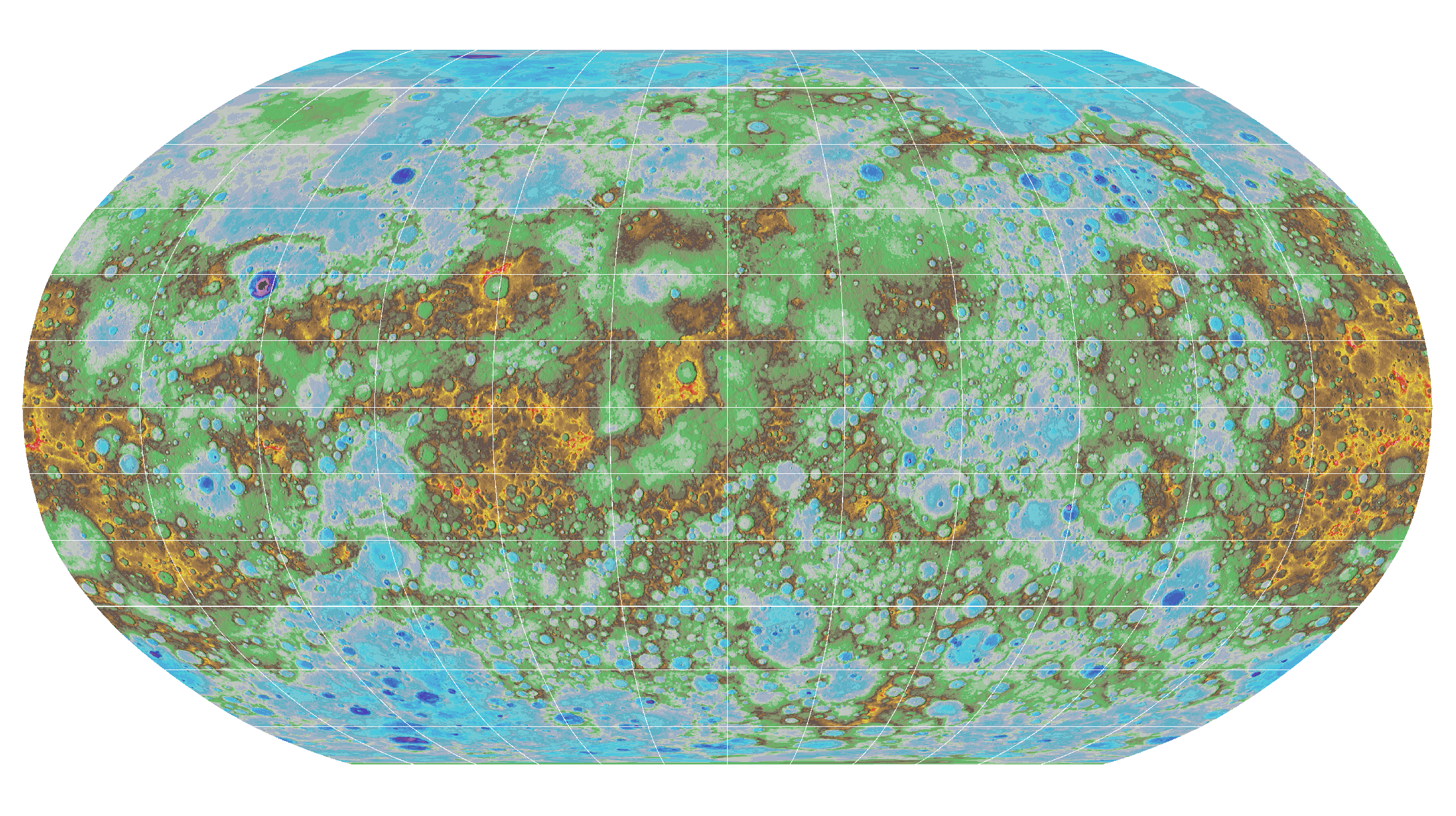
USGS scientists created the first global topographic map of Mercury. This high-resolution map provides the first comprehensive view of Mercury’s entire surface, illustrating the planet’s craters, volcanoes and tectonic landforms. Mercury’s surface is colored according the topography of the surface, with regions with higher elevations colored brown, yellow and red, and regions with lower elevations appearing blue and purple.