
MFDF Coring
By Woods Hole Coastal and Marine Science Center
2024 (approx.)
Detailed Description
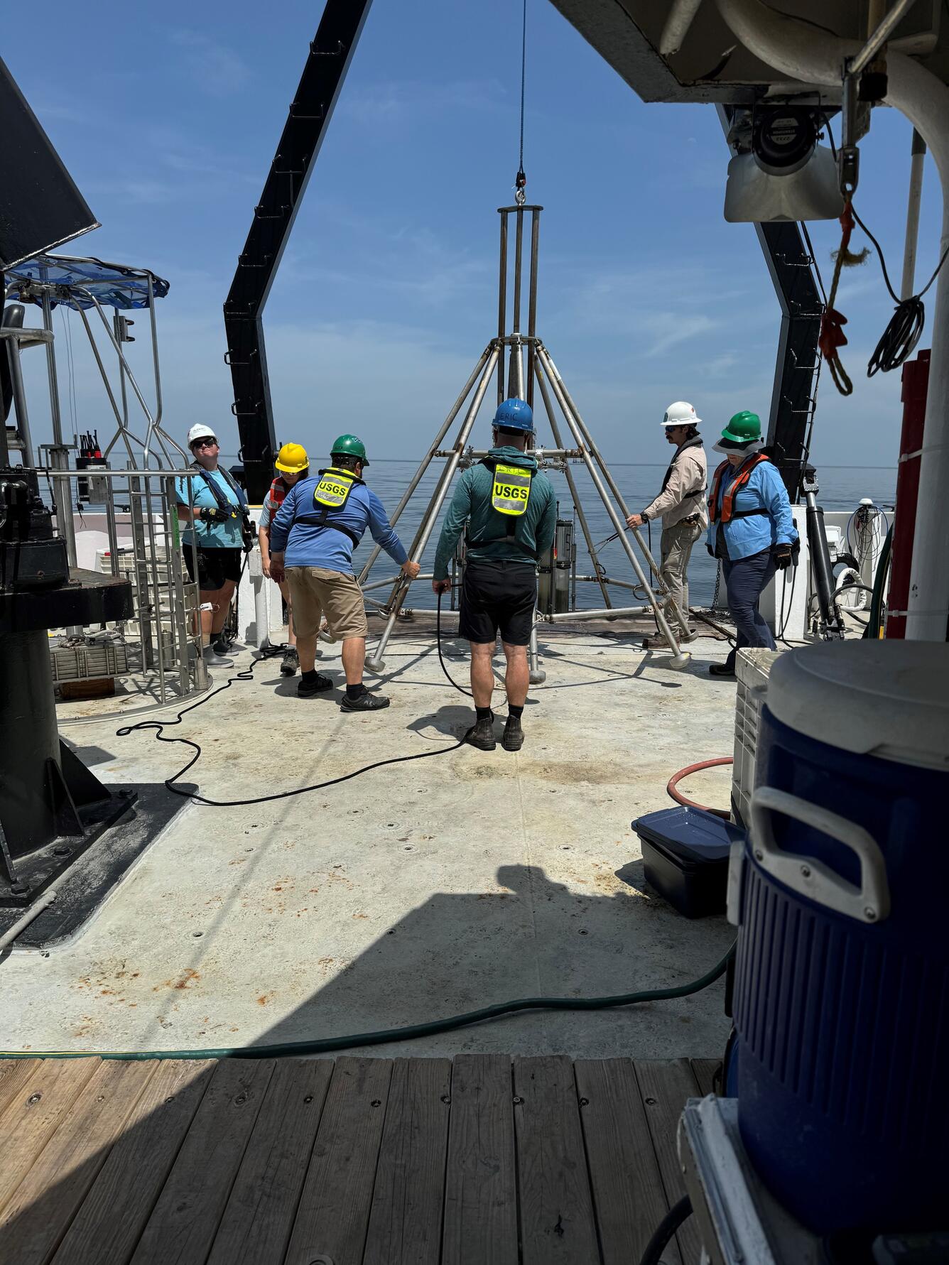
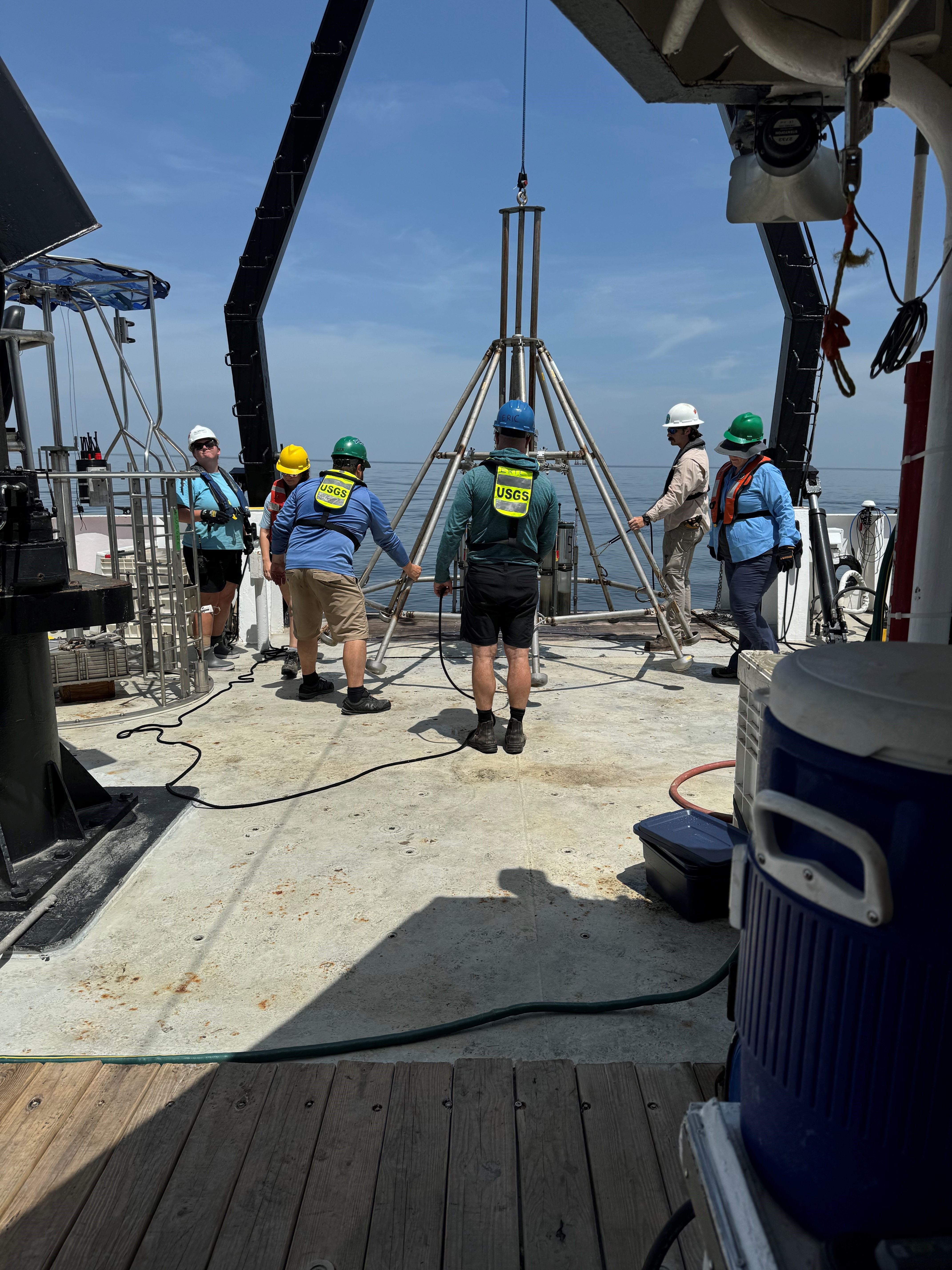
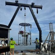
The USGS has a long history of studying seafloor instability in the Mississippi River Delta Front, beginning in the 1970s.
As part of the OASIS project, we play a leading role in seafloor mapping, geophysical imaging, and interpreting the processes that shape this important region.
We surveyed the area in 2017, 2022, 2023, and 2024, collecting geophysical data across approximately 1,115 square kilometers—the majority of the Mississippi River Delta Front. This is the first comprehensive, high-resolution mapping of the area since 1980.
Sources/Usage
Public Domain.
Related
Offshore Analysis of Seafloor Instability and Sediments (OASIS)
The Offshore Analysis of Seafloor Instability and Sediments (OASIS) project is an interagency partnership coordinated by the Bureau of Ocean Energy Management to better understand underwater mudslides and their impacts in the Mississippi River Delta Front. The USGS plays a central role in the project, contributing long-term expertise in coastal and marine geology, seafloor mapping, and geohazard...