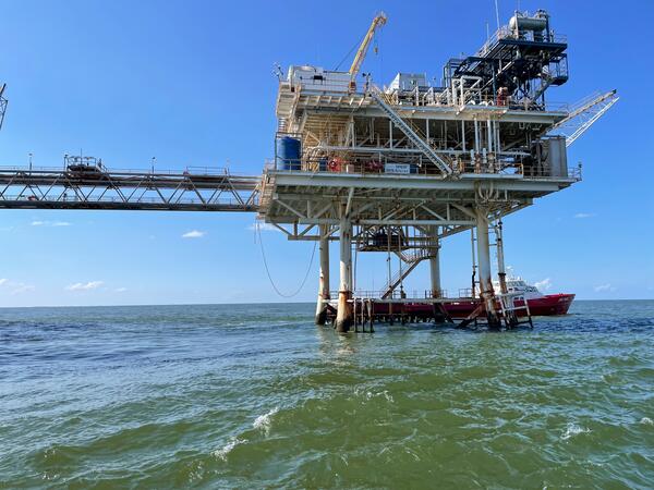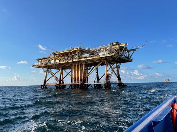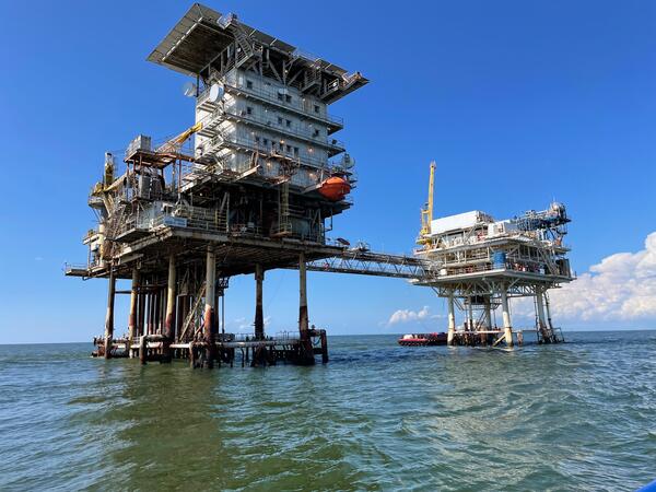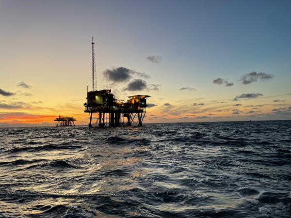


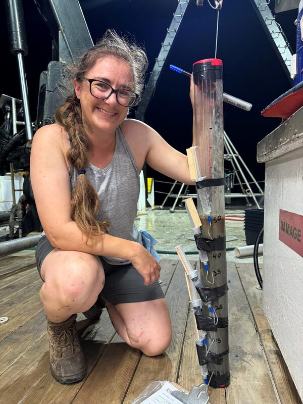
The USGS has a long history of studying seafloor instability in the Mississippi River Delta Front, beginning in the 1970s.
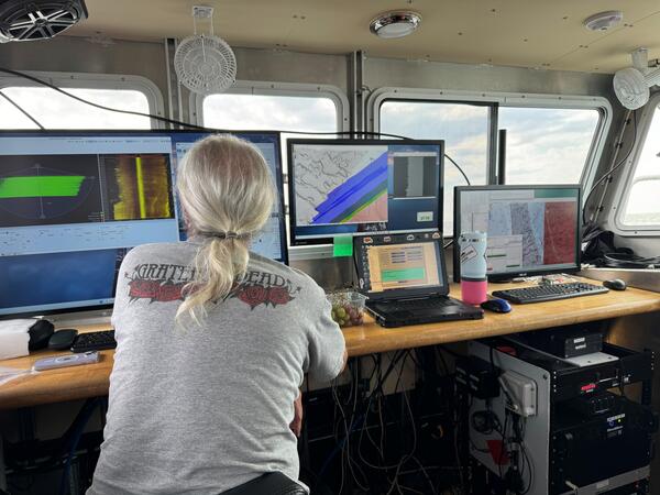
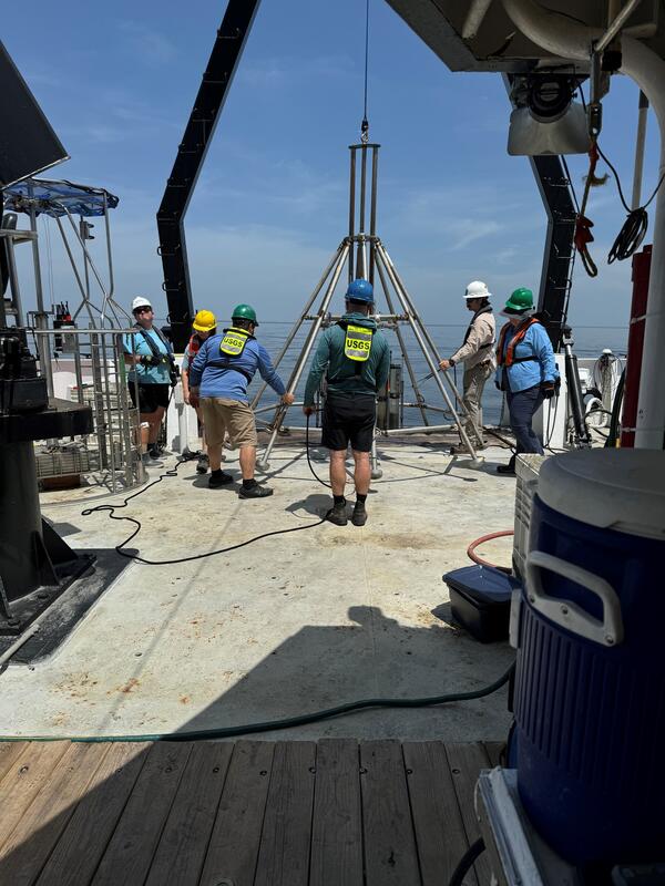
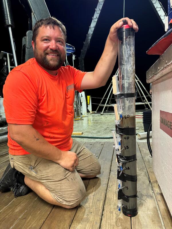
As part of the OASIS project, we play a leading role in seafloor mapping, geophysical imaging, and interpreting the processes that shape this important region.