
Geonarrative: National Shoreline Change

Detailed Description
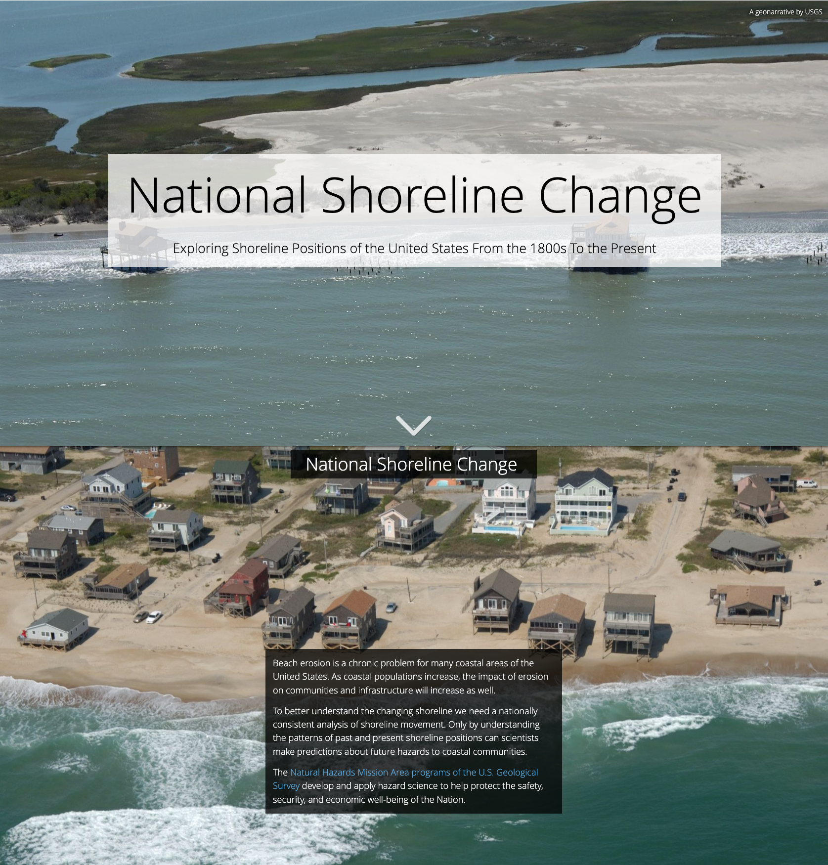
Exploring Shoreline Positions of the United States From the 1800s To The Present. This geonarrative explains how the USGS derives shorelines from various data sources, and how shoreline change rates are generated from these data. The Natural Hazards Mission Area programs of the USGS develop and apply hazard science to help protect the safety, security, and economic well-being of the Nation.
Sources/Usage
Public Domain.