
NY WSC Go2 Mapper
Detailed Description
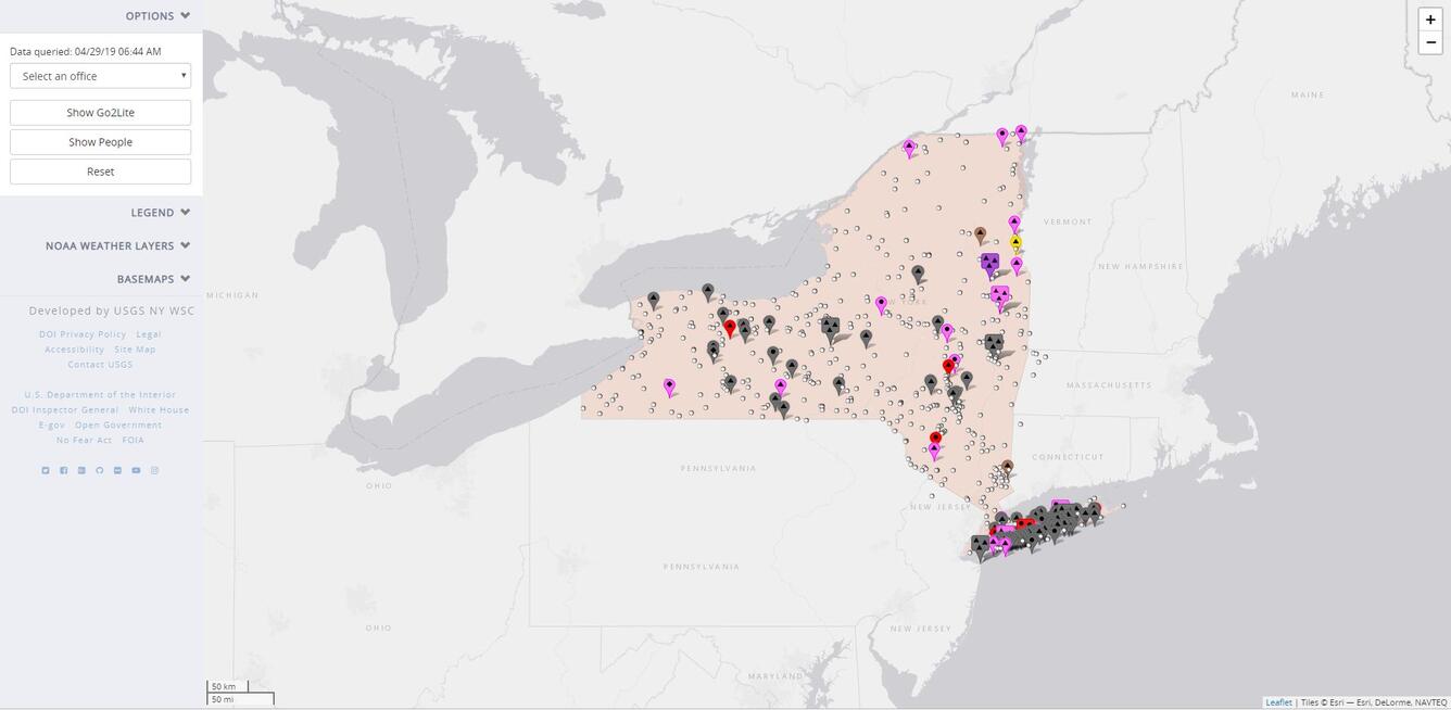
NY WSC Go2 Mapper: Interactive web mapping application used to display Go2 warning messages and field personnel locations. The Go2 system is used by USGS staff to monitor the maintenance of USGS gages.
Sources/Usage
Public Domain.