
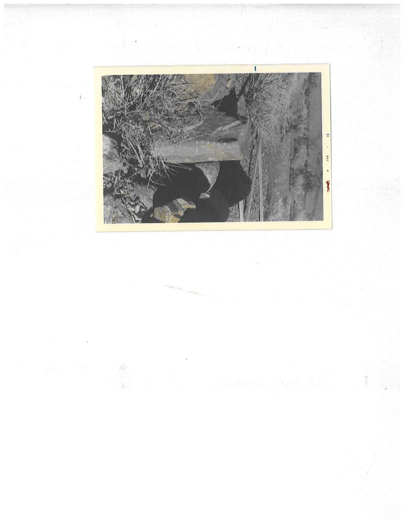
Old Stone Field Marker
Detailed Description
This is a stone field marker that marked boundaries for land ownership. In the early days of Land Office Recordings, this is one type of monument used. Trees, Posts, Iron Pipes and as shown stones were used to mark off land during the Land Rush days. Later, when mapping was being done, Brass Caps with elevations, latitude and longitude, principal meridians were used. This monument marks Township and Range Corner, a few miles west of Indians Springs, N.
Sources/Usage
Public Domain.