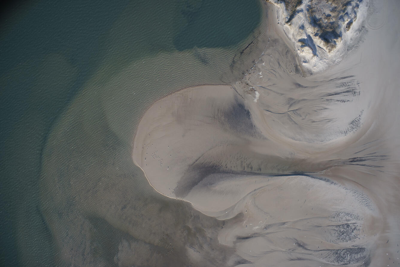
Outer Banks Overflight

Detailed Description
Aerial imagery collected by airplane in the Outer Banks of North Carolina continued in FY22 as part of rapid response to storms and recovery monitoring after Hurricane Florence (2018) and Dorian (2019). Analysis of the flooding and erosion of North Core Banks during Hurricane Dorian was published. Findings show that the landward side of the island was flooded by several meters of storm surge from Pamlico Sound and more than 80 channels were cut through gaps in the dune, and about 18% of the island sand was washed into the Atlantic Ocean. The analysis of this event was supported by the Additional Supplemental Appropriations for the Disaster Relief Act of 2019 (Public Law 116–120, 113 Stat. 871).
Sources/Usage
Public Domain.

