
Permafrost zones across Alaska
By Alaska Science Center
November 2024 (approx.)

Detailed Description
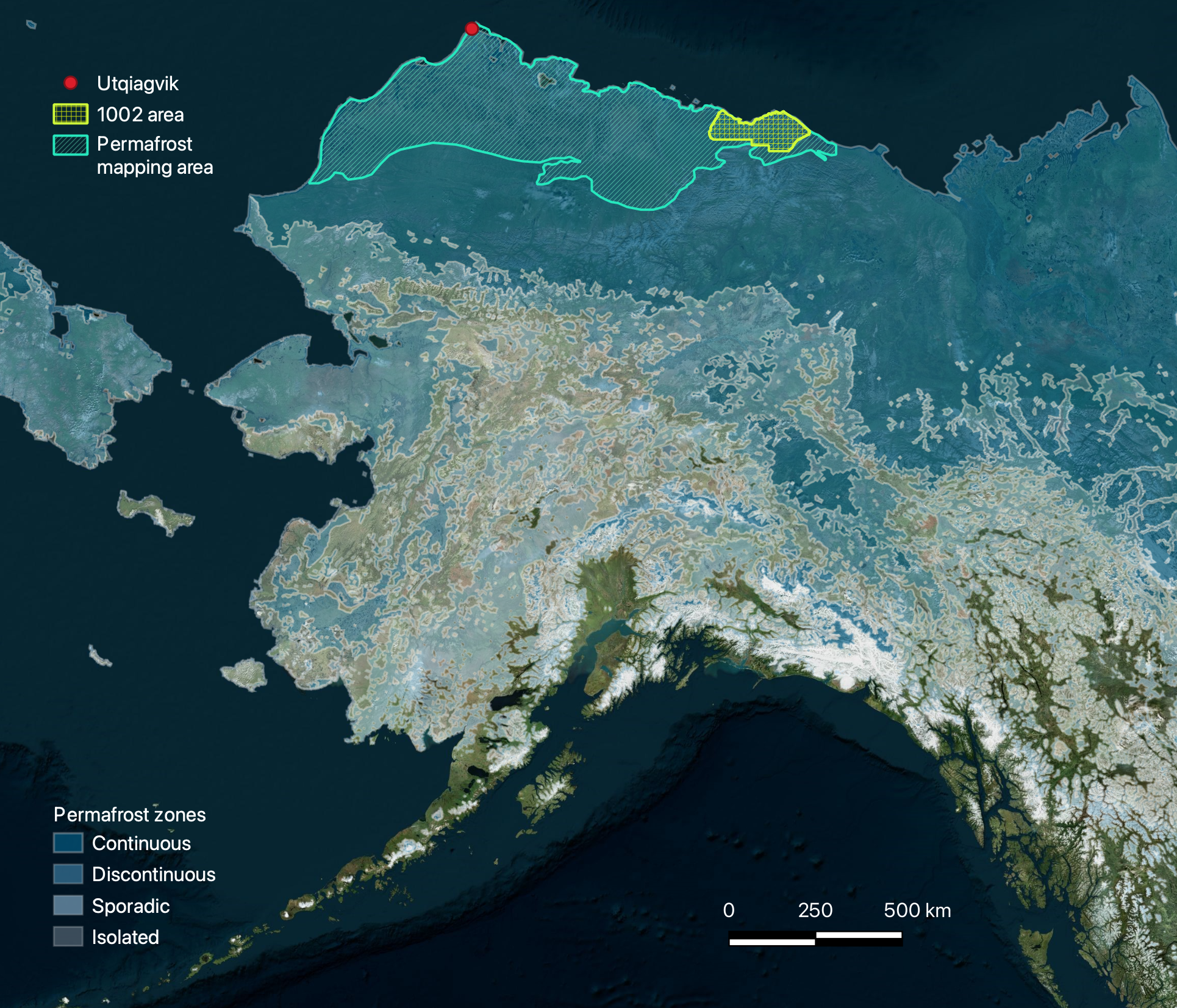
This map depicts the permafrost zones across Alaska, overlain by project focus areas. The hashed turquoise region represents areas where pingo mapping is being prioritized. The lime green color outlines the 1002 area, where surficial geological maps are being used to generate more reliable predictors for ground ice content.
Sources/Usage
Public Domain.
Created by Alena Giesche, USGS using cited products