
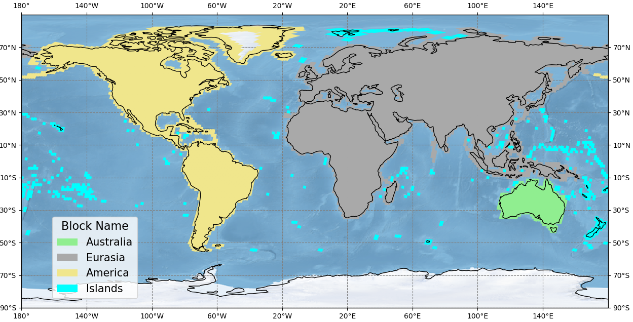
Phase 4 Landsat Ground Control Points Geographical Regions
Detailed Description
This map displays the extent of the four geographic regions used in the Phase 4 Landsat ground control point improvement for Collection 2.
Sources/Usage
Public Domain.