
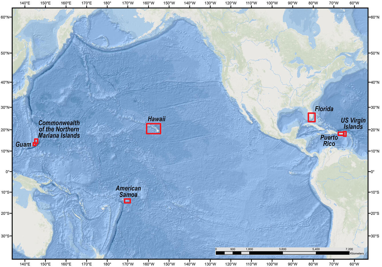
Reef hazard study locations
Detailed Description
Reef hazard study locations: USGS Data Release “Projected flooding extents and depths based on 10-, 50-, 100-, and 500-year wave-energy return periods, with and without coral reefs, for the States of Hawaii and Florida, the Territories of Guam, American Samoa, Puerto Rico, and the U.S. Virgin Islands, and the Commonwealth of the Northern Mariana Islands”
Sources/Usage
Public Domain.
USGS Data Release
Gibbs, A.E., Cole, A.D., Lowe, E., Reguero, B.G., and Storlazzi, C.D., 2019, Projected flooding extents and depths based on 10-, 50-, 100-, and 500-year wave-energy return periods, with and without coral reefs, for the States of Hawaii and Florida, the Territories of Guam, American Samoa, Puerto Rico, and the U.S. Virgin Islands, and the Commonwealth of the Northern Mariana Islands: U.S. Geological Survey data release, https://doi.org/10.5066/P9KMH2VX.