
River Miles

Detailed Description
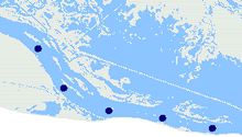
The U.S. Army Corps of Engineers use a river mile measuring scheme to locate features on the Mississippi River. Two digital version of these data are available, one created by UMESC from stored on USGS quadrangles, and one created by the Scientific Assessment and Strategy Team (SAST) project.
Sources/Usage
Public Domain.