



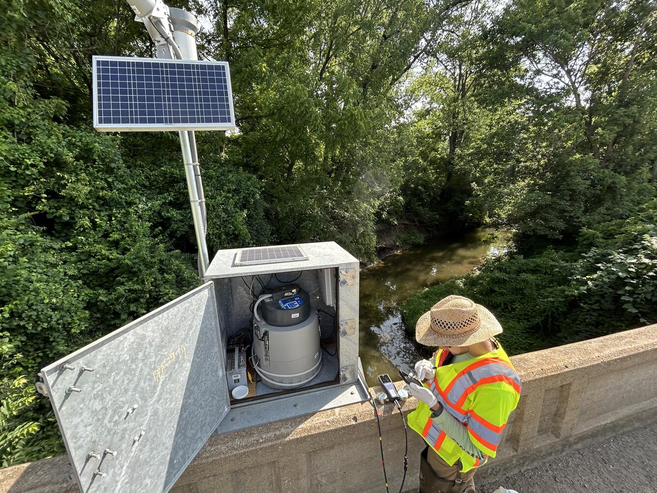
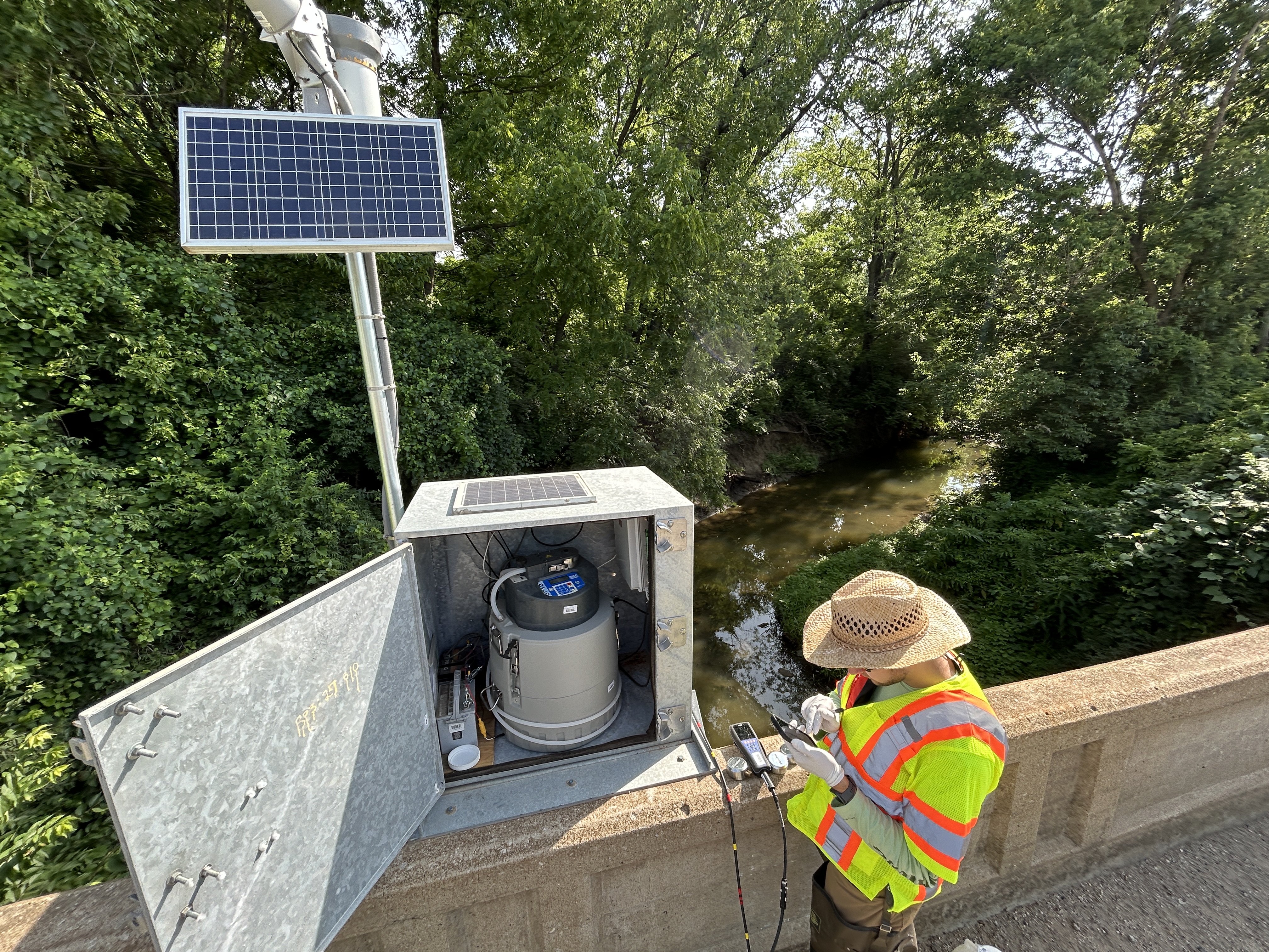
Scientist collecting field parameters and checking the autosampler at the Rock Creek streamgage


Detailed Description
USGS physical scientist, Andrew Williams, collecting field parameters and checking the autosampler at the Rock Creek streamgage location.
https://waterdata.usgs.gov/monitoring-location/USGS-06893620/
Sources/Usage
Public Domain.
Related
WaterMAP: Water Monitoring Above the Planet
WaterMAP, or Water Monitoring Above the Planet, is an interactive web application that brings together surface water observations across the U.S. The application allows users to explore water conditions over time using both remotely sensed satellite and field measured data.
Related
WaterMAP: Water Monitoring Above the Planet
WaterMAP, or Water Monitoring Above the Planet, is an interactive web application that brings together surface water observations across the U.S. The application allows users to explore water conditions over time using both remotely sensed satellite and field measured data.