
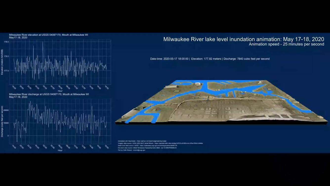
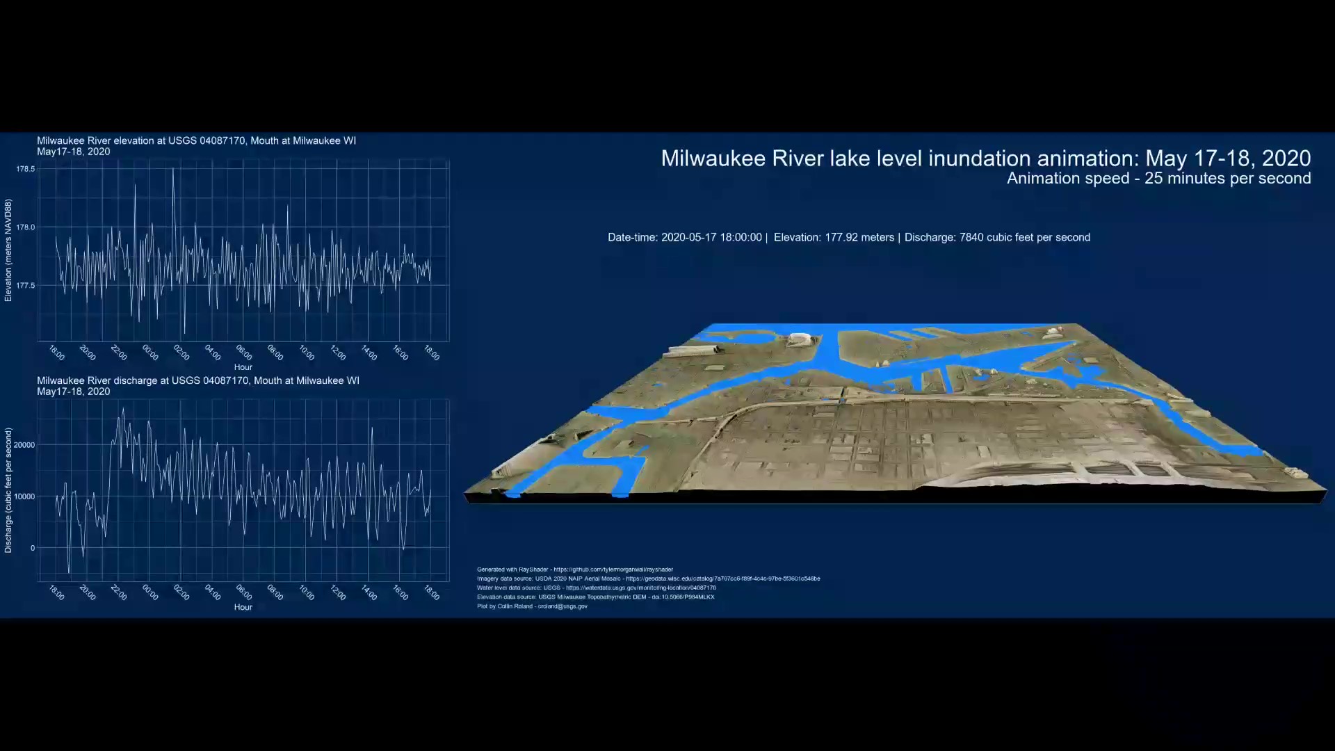
Screenshot of 3-D animation of inundation of areas surrounding Milwaukee Inner Harbor using water levels recorded at the USGS Milwaukee River mouth gage during a May 17-18, 2020 water level fluctuation event
Detailed Description
Screenshot of 3-D animation of inundation of areas surrounding the Inner Harbor (looking east) using water levels recorded at the USGS Milwaukee River mouth gage during a May 17-18, 2020 water level fluctuation event as the overall lake level was approaching its June/July record high. This was a record rainfall event, with 3 inches falling in a day at the Mitchell International Airport on Milwaukee's south side. When the water levels approach 178.0 m (584.0 ft) above NAVD88 some of the adjacent low-lying areas near the channel become inundated. Overall, flows were positive out of the harbor at around 10,000 cubic feet per second. Lake Michigan water levels averaged a near record high in May 2020 at 177.4 m (582.0 ft) above NAVD88.
Sources/Usage
Public Domain.