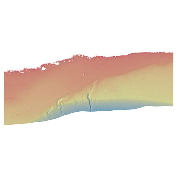
The seafloor offshore of Gaviota
Detailed Description
Example of a seafloor map (bathymetry), offshore of Gaviota, CA.
Sources/Usage
Public Domain.
USGS data release
California State Waters Map Series--Offshore of Gaviota, California

Official websites use .gov
A .gov website belongs to an official government organization in the United States.
Secure .gov websites use HTTPS
A lock () or https:// means you’ve safely connected to the .gov website. Share sensitive information only on official, secure websites.
Example of a seafloor map (bathymetry), offshore of Gaviota, CA.
Public Domain.
USGS data release
California State Waters Map Series--Offshore of Gaviota, California