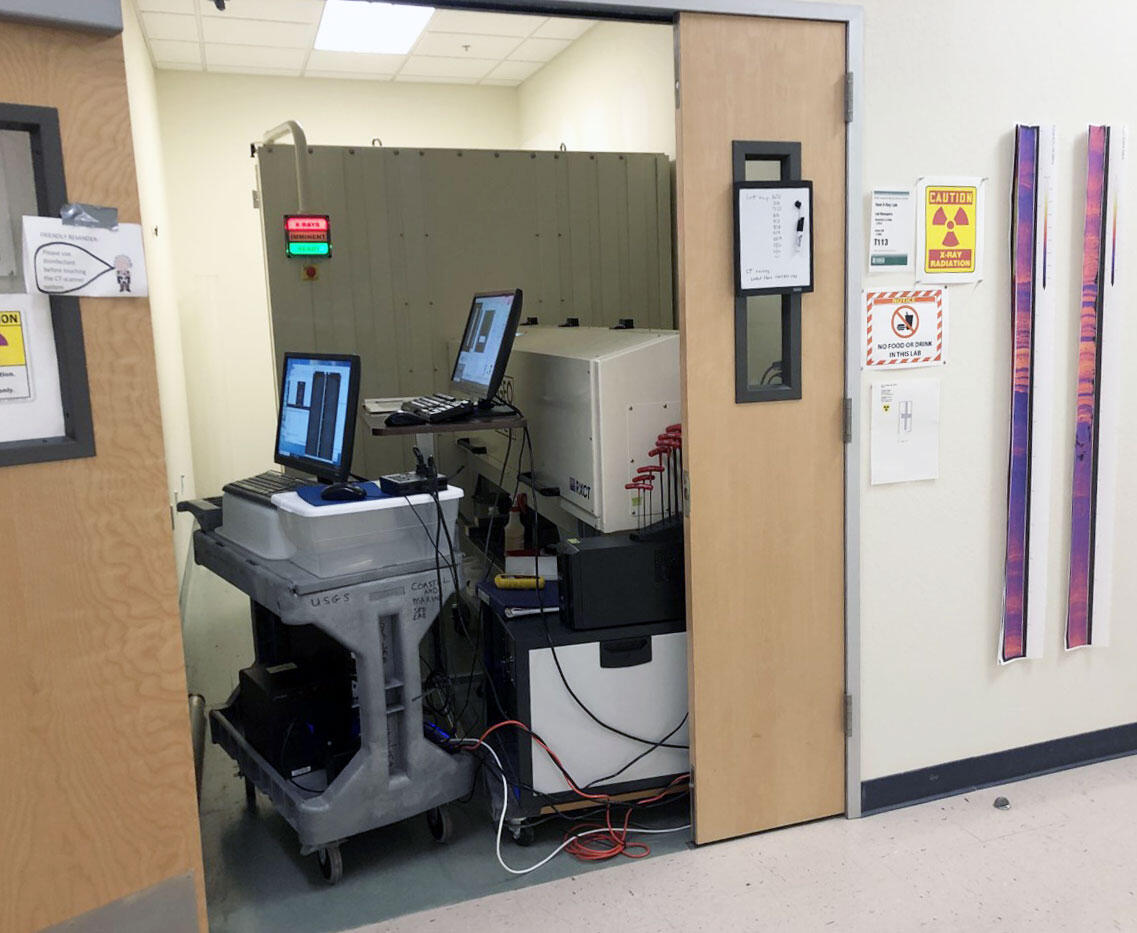
Sediment core X-ray CT lab in Santa Cruz

Detailed Description
The Geotek RXCT, a "rotating x-ray computed tomography" system, is used for creating ultra high-resolution imagery of sediment cores. The system resides at the USGS Pacific Coastal and Marine Science Center in Santa Cruz, California. It requires the operator to take specialized training and hold safety certifications.
In medicine, radiologists use computed tomography (CT) scans to collect highly detailed images of your body. Similarly, the RXCT creates a complete 3-D image rendering of a sediment core by combining a series of X-ray images taken from different angles around it (thus, the "rotating" part of the name). The system then uses computer processing to create cross-sectional images (slices) of the core. A CT scan provides more detailed information than a simple X-ray.
The images created by the RXCT allow scientists to look into the core at any area and at any angle, without having to carve into it. Looking at the structure and composition of cores in this fashion helps scientists determine the history of the location where the core was collected, like the seafloor, a lake bed, or a marshy area. For example, if they find a sandy layer in an otherwise calm environment, like the back lagoon near a beach which is normally just mud, this is likely evidence of a big wave event that carried sand from the beach and nearshore back into the marsh area. Age-dating of the sandy layer can be correlated with the date of a significant storm or a tsunami.
Sources/Usage
Public Domain.

