
Shoreline Butte
Detailed Description
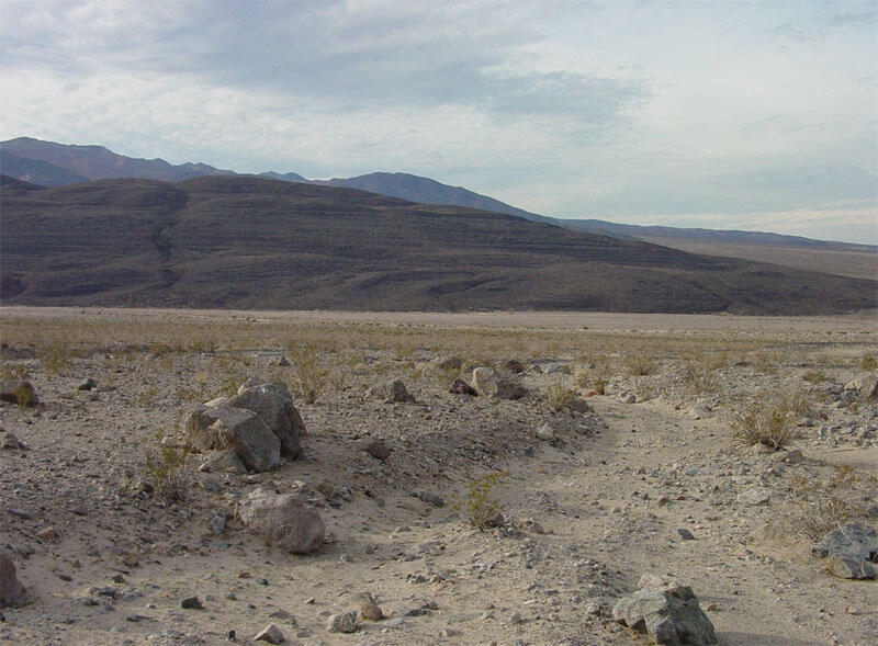
During the Pleistocene Epoch (before about 11,000 years ago), a lake, Lake Manly, filled Death Valley. Shoreline Butte, the hill in the background, was a volcanic island at the southern end of the lake. The Butte is south of the intersection of Highway 178 with the West Side Road. Lines, recording the locations of ancient shorelines of the lake, horizontally cross Shoreline Butte. The shorelines are nicely etched because prevailing winds moving down the valley concentrated wave energy at the southern end of the ancient lake (Sharp and Glazner, 1997). For an aerial view of Shoreline Butte, click here.
Sources/Usage
Public Domain.