



Six pilot basins and their hydroclimatic types for flood-typing study


Detailed Description
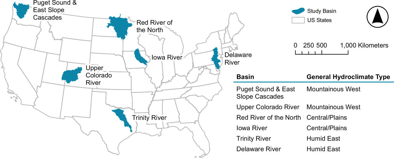
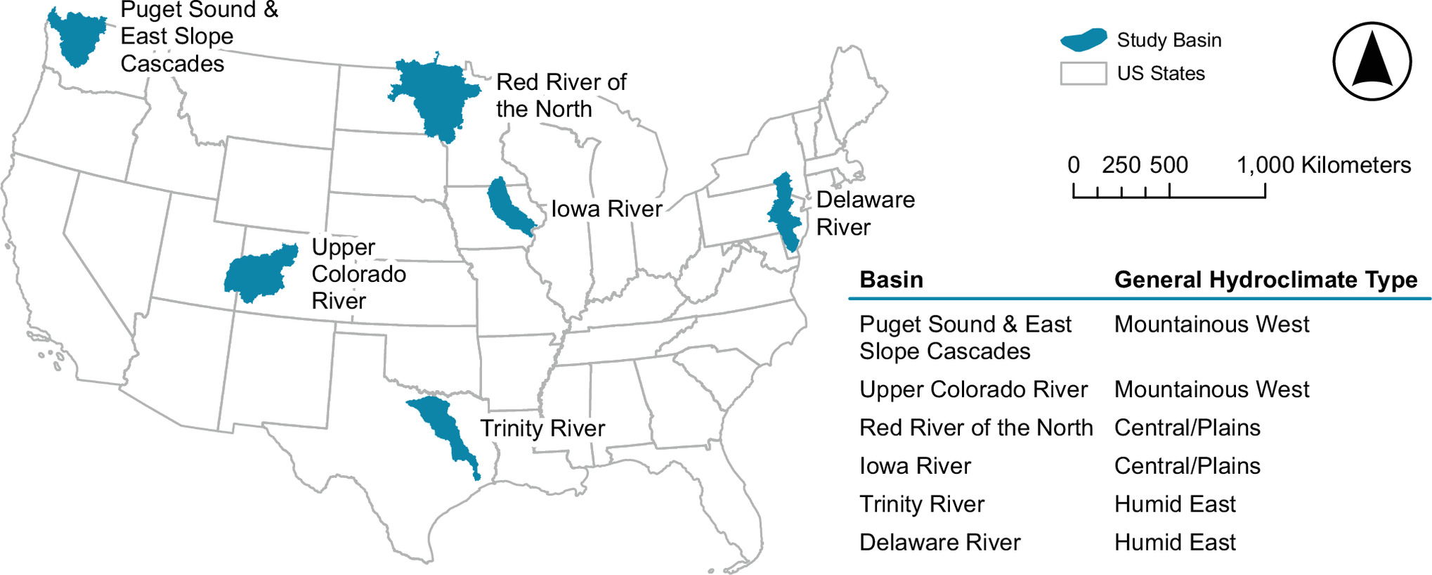
Map of six pilot basins and their respective general hydroclimatic types within in the lower 48 United States . The pilot basin extents are used to identify the location of individual U.S. Geological Survey streamgages for manual flood classifications.
Modified from Hamshaw and others, 2026
Sources/Usage
Public Domain.
Related
Interagency Flood-Typing and Mixed Population Studies
Flooding is a natural hazard that can cause extensive damage, result in casualties, loss of life and property, and shape landscapes. Understanding more about what caused past flood events, from snowmelt to excessive rainfall, can support future decision-making. The U.S. Geological Survey and U.S. Army Corps of Engineers (USACE) are collaboratively supporting the Federal Emergency Management Agency...
Related
Interagency Flood-Typing and Mixed Population Studies
Flooding is a natural hazard that can cause extensive damage, result in casualties, loss of life and property, and shape landscapes. Understanding more about what caused past flood events, from snowmelt to excessive rainfall, can support future decision-making. The U.S. Geological Survey and U.S. Army Corps of Engineers (USACE) are collaboratively supporting the Federal Emergency Management Agency...