
Souris River Flooding
Detailed Description
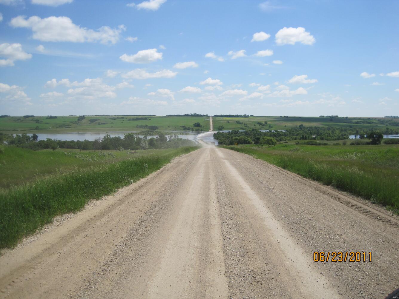
The Souris River flooding a road near Sherwood, North Dakota.On June 23, 2011, USGS personnel were there to measure the streamflow. Streamflow was approximately 27,100 cubic feet per second, stage approximately 27.98 feet.
Sources/Usage
Public Domain.