
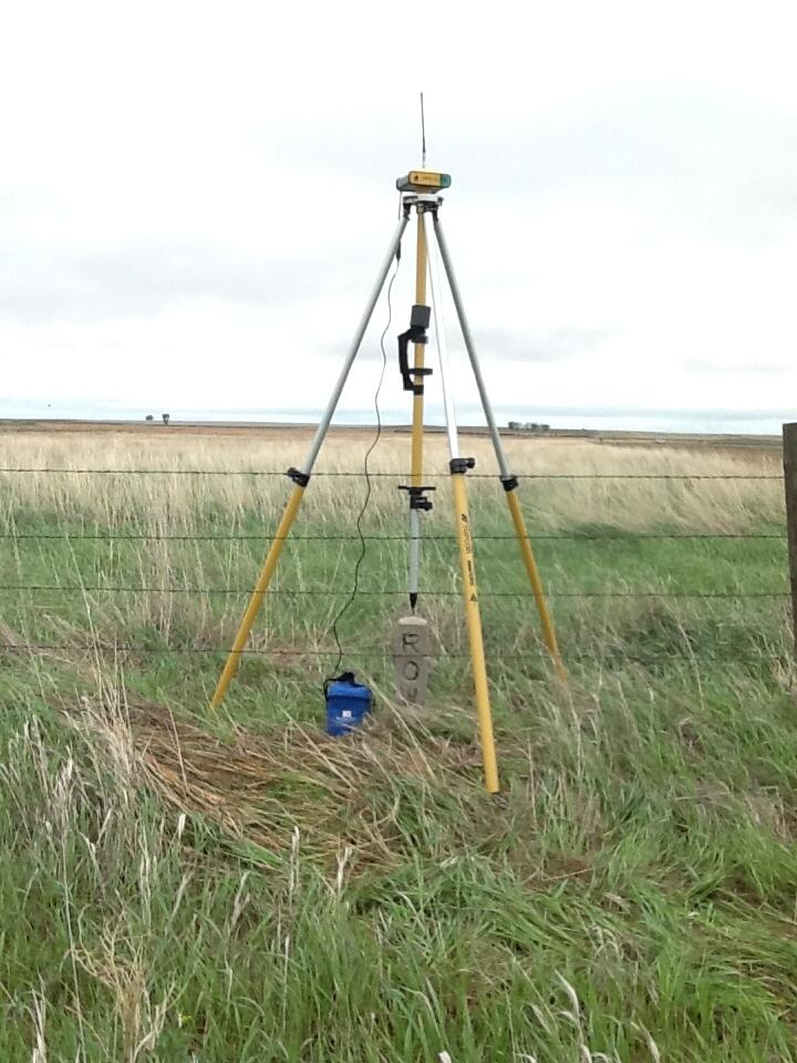
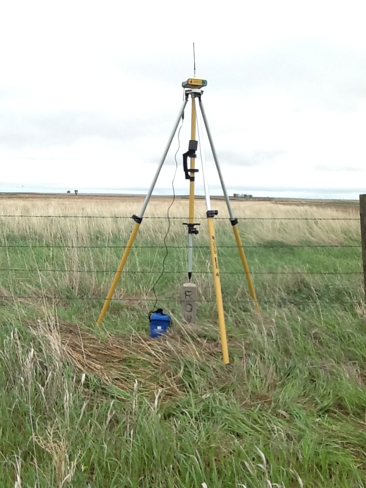
Survey Base Station near Potter Slough, Lower Brule Indian Reservation, SD
Detailed Description
Base station near southern part of Potter Slough used for ground surveys of wetlands. A reconnaissance-level study of selected wetlands on and near the Lower Brule Indian Reservation in South Dakota was completed in 2012-13 by the U.S. Geological Survey in cooperation with the Lower Brule Sioux Tribe using ground surveys and water-quality analyses. Ground surveys of six wetland areas (Dorman Slough, Little Bend Wetlands, Miller Pond, Potter Slough, an unnamed slough, and West Brule Community wetlands) were completed to map land, water, vegetation, and man-made features of the selected wetland areas using real-time kinematic global navigation satellite systems equipment. Water samples were collected from four of the selected wetlands.
Sources/Usage
Public Domain.