
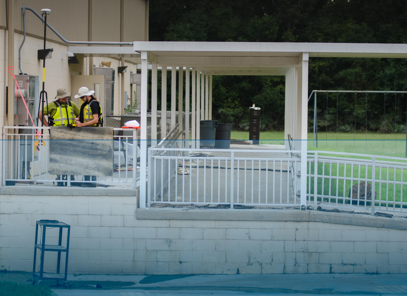
Surveying a High-Water Mark
Detailed Description
Chris Henry and Daniel McCay, USGS hydrologic technicians, use GPS equipment to survey a high-water mark outside of a flooded elementary school in Denham Springs, Louisiana, August 28. This school was located in one of the hardest hit flood areas and the blue line simulates how high the water was at its peak during this historic flood.
Sources/Usage
Public Domain.