
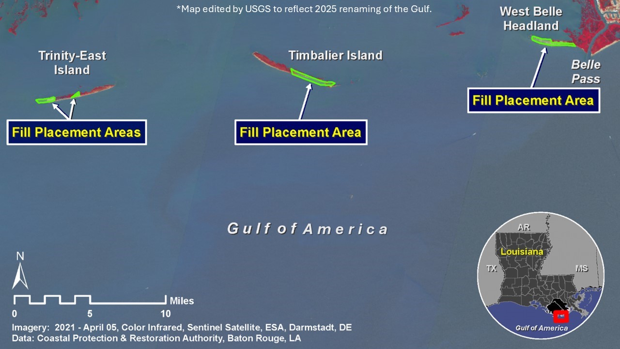
Terrebonne Basin Barrier Island and Beach Nourishment map
By Wetland and Aquatic Research Center
January 2023 (approx.)

Detailed Description
The Louisiana Coastal Protection and Restoration Authority’s recently completed Terrebonne Basin Barrier Island and Beach Nourishment (TE-0143) project, which built and nourished 509 ha of beach, dune, and marsh at Timbalier Island, West Belle Headland, and Trinity-East Island. *Note: this map was edited by USGS in May 2025 to reflect the 2025 renaming of the Gulf.
Sources/Usage
Public Domain.
Related
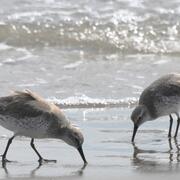
Winter Shorebird Surveys of Federally Protected Bird Species Following Restoration at West Belle Headland and Trinity-East Island, Louisiana
The USGS and the Barataria-Terrebonne National Estuary Program (BTNEP) conducted post-restoration monitoring of Piping Plovers and Red Knots to better understand how birds respond to coastal restoration.
Related
Winter Shorebird Surveys of Federally Protected Bird Species Following Restoration at West Belle Headland and Trinity-East Island, Louisiana
The USGS and the Barataria-Terrebonne National Estuary Program (BTNEP) conducted post-restoration monitoring of Piping Plovers and Red Knots to better understand how birds respond to coastal restoration.