
Thumbnail image for EoE Episode 130 – NLCD Accuracy
Detailed Description
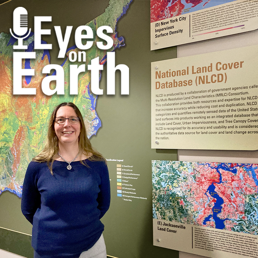
Thumbnail image for Eyes on Earth Episode 130 – NLCD Accuracy, showing photo of Jo Horton
Every pixel has a story. At least that’s how land remote sensing scientist Jo Horton sees it. The new Annual National Land Cover Database (NLCD) was just released in October 2024. NLCD is widely used for land cover and change research in the U.S. That’s why the Reference and Validation team provides accuracy metrics to users, and this work allows EROS to move land cover mapping science forward. Learn about what the Reference and Validation team does and what they are looking for when they closely examine thousands of Landsat sample pixels across the conterminous U.S. It sometimes involves some detective work as they figure out the stories of each pixel across time.
Sources/Usage
Public Domain.
Related

Eyes on Earth Episode 130 – NLCD Accuracy
Related