
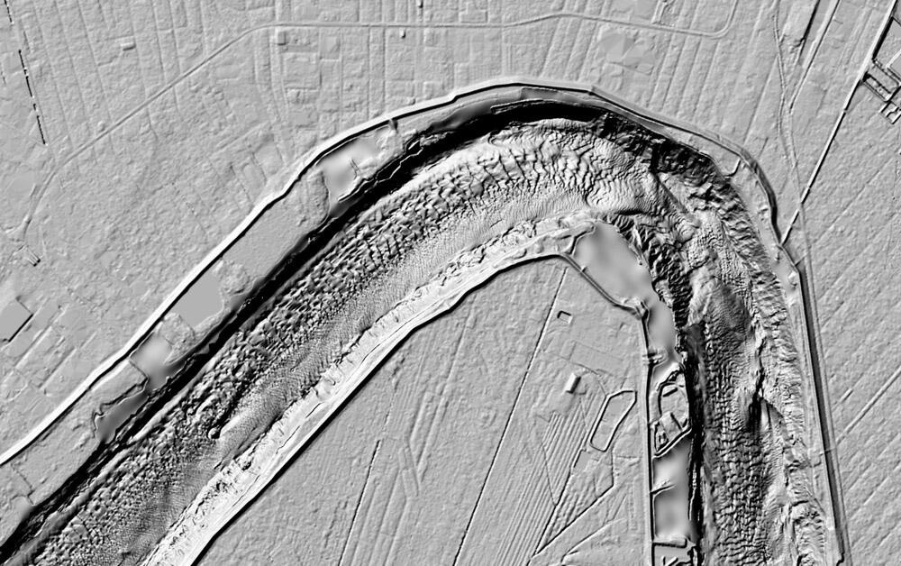
Topobathymetric elevation model along Mississippi River
Detailed Description
This image is a topobathymetric elevation model of a part of the Mississippi River in New Orleans, Louisiana, and is an example of inland bathymetry in the northern Gulf of America. This regional topobathymetric elevation model includes airborne light detection and ranging (lidar) point clouds, hydrographic surveys, side-scan sonar surveys, and multibeam surveys obtained from USGS, NOAA, the State of Louisiana, the U.S. Army Corps of Engineers, FEMA, and other agencies.
Sources/Usage
Public Domain.