
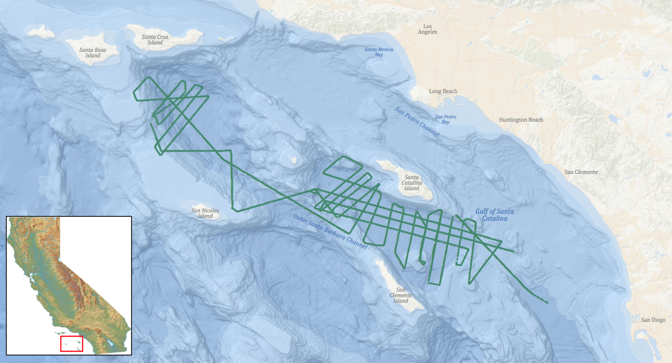
Trackline map from field activity 2014-645-FA
Detailed Description
Trackline map from USGS data release: Minisparker and chirp seismic-reflection data of field activity 2014-645-FA collected in the outer Santa Barbara Channel, California, between 2014-11-12 to 2014-11-25
Sources/Usage
Public Domain.
USGS Data Release
Minisparker and chirp seismic-reflection data of field activity 2014-645-FA collected in the outer Santa Barbara Channel, California, between 2014-11-12 to 2014-11-25 (ver. 2.0, March 2020)