
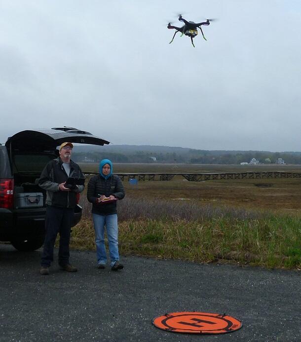
USGS pilots prepare to land a drone after beach mapping
By Communications and Publishing
2017 (approx.)
Detailed Description
Pilots from the USGS Woods Hole Coastal and Marine Science Center prepare to land a quadcopter drone afterobtaining images used to map Town Neck Beach in Sandwich, Massachusetts.