



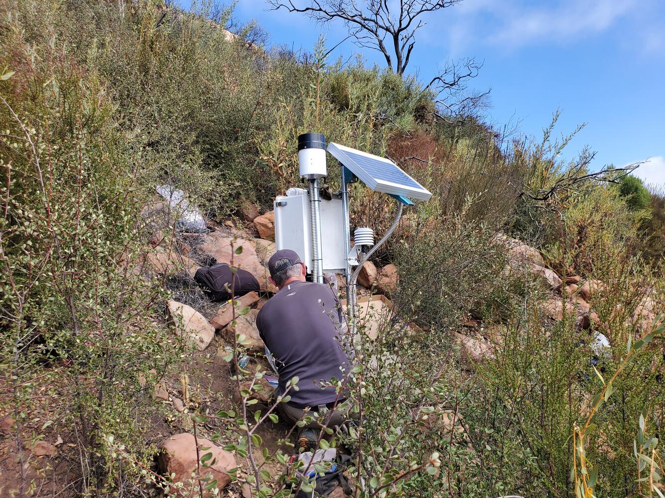
The USGS Postfire Landslide Monitoring Station “Maria Ygnacio” within the Los Padres National Forest, California.


Detailed Description
The USGS Postfire Landslide Monitoring Station “Maria Ygnacio” is located within the Los Padres National Forest in the Santa Ynez Mountains of southern California. The site consists of surface and subsurface instrumentation that is monitoring the hillslope shown in this image.
Sources/Usage
Public Domain.
Related

Postfire Landslide Monitoring Station: “Maria Ygnacio” (2019 Cave Fire) near Santa Barbara, California
Wildfire can increase landslide susceptibility in mountainous terrain. The USGS maintains postfire landslide monitoring stations to track hillslope hydrologic conditions in the years following fire.

Rainfall and Landslides in Southern California
Southern California is well known to be susceptible to landslides, especially during periods of intense or prolonged rainfall, and these hazards can worsen during El Niño conditions. This page summarizes the causes and impacts of historical and recent rainfall-triggered landslides and debris flows in southern California, including several major winter storms that caused damaging and deadly events...
Related
Postfire Landslide Monitoring Station: “Maria Ygnacio” (2019 Cave Fire) near Santa Barbara, California
Wildfire can increase landslide susceptibility in mountainous terrain. The USGS maintains postfire landslide monitoring stations to track hillslope hydrologic conditions in the years following fire.
Rainfall and Landslides in Southern California
Southern California is well known to be susceptible to landslides, especially during periods of intense or prolonged rainfall, and these hazards can worsen during El Niño conditions. This page summarizes the causes and impacts of historical and recent rainfall-triggered landslides and debris flows in southern California, including several major winter storms that caused damaging and deadly events...