
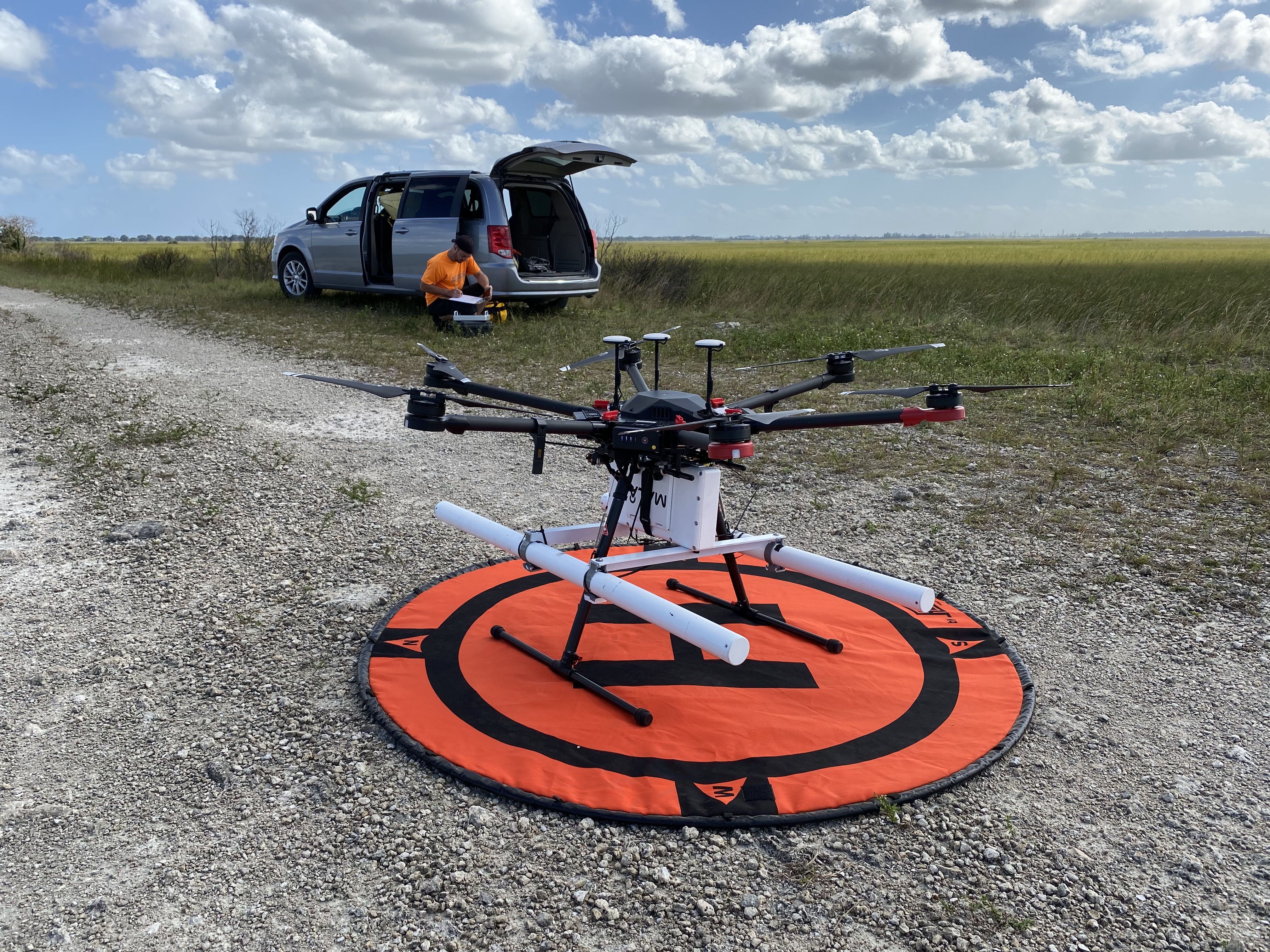
USGS scientist prepares drone ground-penetrating radar for peat mapping

Detailed Description
USGS recently tested ground-penetrating radar (GPR) on a drone for mapping peat thickness and extent. This work is part of a collaboration with Florida Atlantic University to study and locate large carbon gas emissions from peat soils in the swampy wetlands of the Everglades in Florida. The study is exploring the use of airborne GPR to map gas accumulations in the peat through repeat measurements with a drone over time and is funded by the U.S. Department of Energy.
In this photo, the GPR system is the white box mounted on a hexacopter, a type of drone or small uncrewed aircraft system (sUAS). USGS Research Hydrologist Neil Terry from the New York Water Science Center can be seen preparing the GPR controller in the background, between flights.
Everglades Water Conservation Area 2, Broward County, Florida
Sources/Usage
Public Domain.
USGS/Cian Dawson