
USGS Scientists Enter Data from Hurricane Harvey Flooding in Texas
Detailed Description
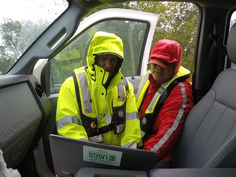
USGS scientists Vidal Mendoza and Brian Petri take flood measurements at Fifteenmile Creek near Weser, Texas on August 26. The crew used a power measurement technique, since acoustic measurements will not work due to a large amount of sediment and vegetation in the floodwaters. Photo by Mark Schroeder, USGS.
Sources/Usage
Public Domain.
Public Domain