
USGS Takes Streamflow Measurements
Detailed Description
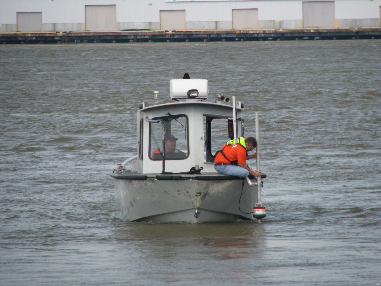
USGS hydrologist Todd Baumann makes a streamflow measurement of the Mississippi River aboard the Butta Bean during the 2011 Flood. USGS makes streamflow measurements by using an Acoustic Doppler Current Profiler (ADCP), which emits soundwaves through the water column. These soundwaves rebound off particles in the water until they reach the river bottom. The ADCP reads these reflected soundwaves to determine the speed and the depth of the water, which together yield the streamflow of the river. At the height of the flood, USGS crews are out every other day taking streamflow measurements to ensure the US Army Corps of Engineers has accurate, up-to-date information with which to base its river management decisions.
Sources/Usage
Public Domain.