



USGS Water Monitoring Above the Planet (WaterMAP) screenshots

Detailed Description
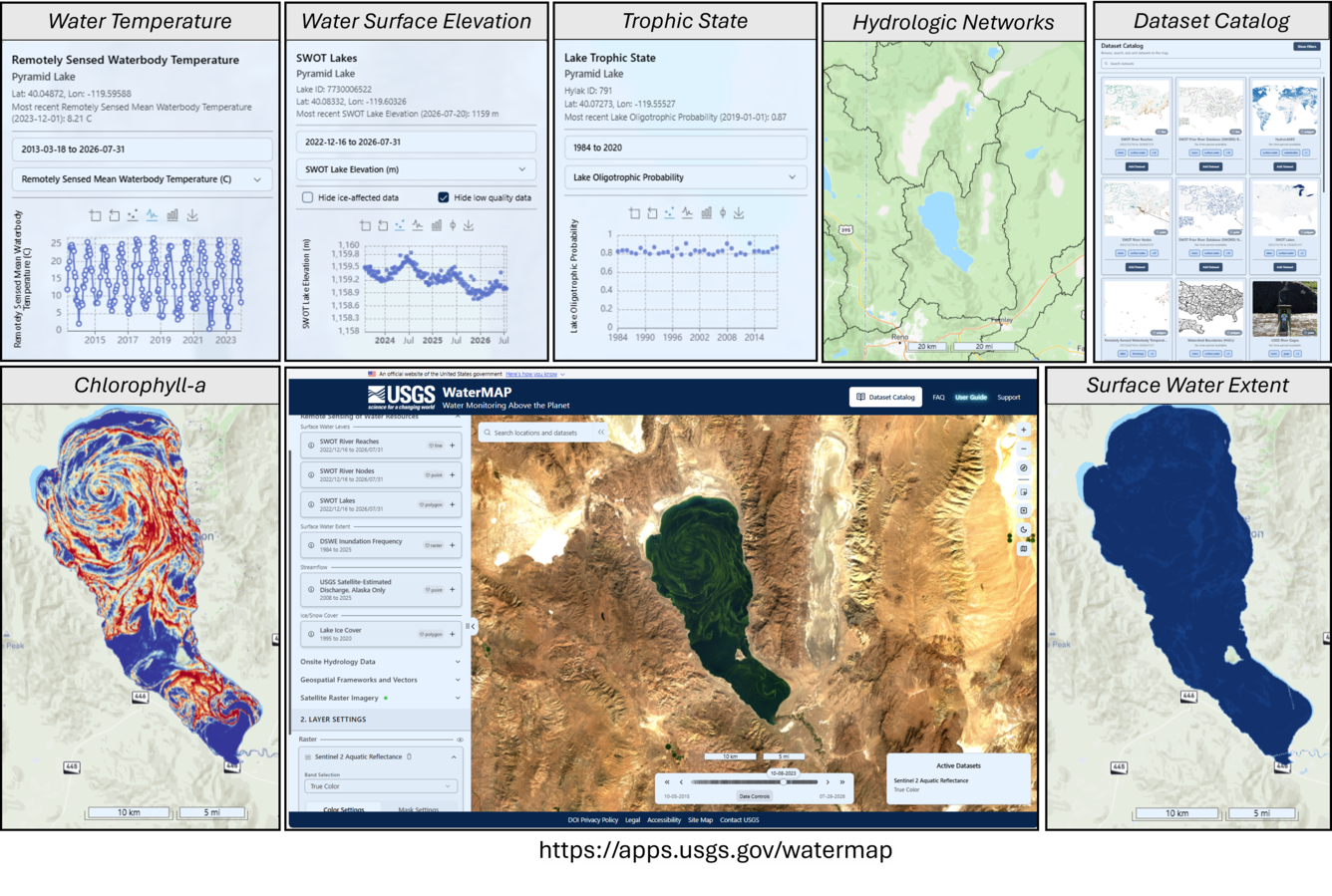
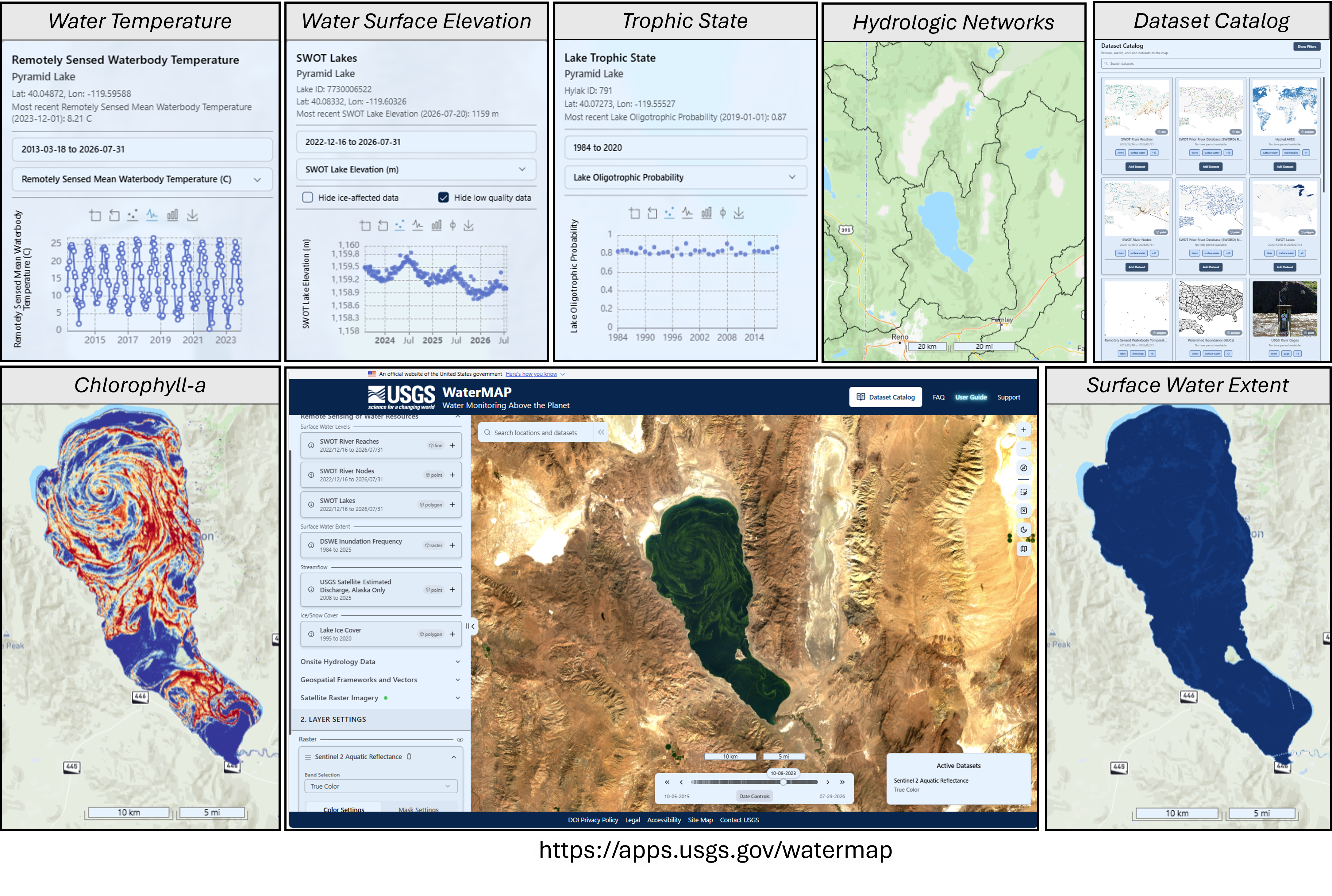
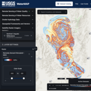
Overview of the USGS WaterMAP (Water Monitoring Above the Planet) website where remotely sensed water quality products are publicly available. https://apps.usgs.gov/watermap/
Sources/Usage
Public Domain.
Related
Remote Sensing of Water Quality
The USGS Water Resources Mission Area develops state-of-the-art remote sensing and satellite technology to monitor water quality across the United States. Remote sensing allows us to track water quality conditions and monitor potentially hazardous events like harmful algal blooms in every lake and river in the country that is 100 m or more in width.
WaterMAP: Water Monitoring Above the Planet
WaterMAP, or Water Monitoring Above the Planet, is an interactive web application that brings together surface water observations across the U.S. The application allows users to explore water conditions over time using both remotely sensed satellite and field measured data.
Related
Remote Sensing of Water Quality
The USGS Water Resources Mission Area develops state-of-the-art remote sensing and satellite technology to monitor water quality across the United States. Remote sensing allows us to track water quality conditions and monitor potentially hazardous events like harmful algal blooms in every lake and river in the country that is 100 m or more in width.
WaterMAP: Water Monitoring Above the Planet
WaterMAP, or Water Monitoring Above the Planet, is an interactive web application that brings together surface water observations across the U.S. The application allows users to explore water conditions over time using both remotely sensed satellite and field measured data.