
Using uncrewed aircraft in landslide assessment
Detailed Description
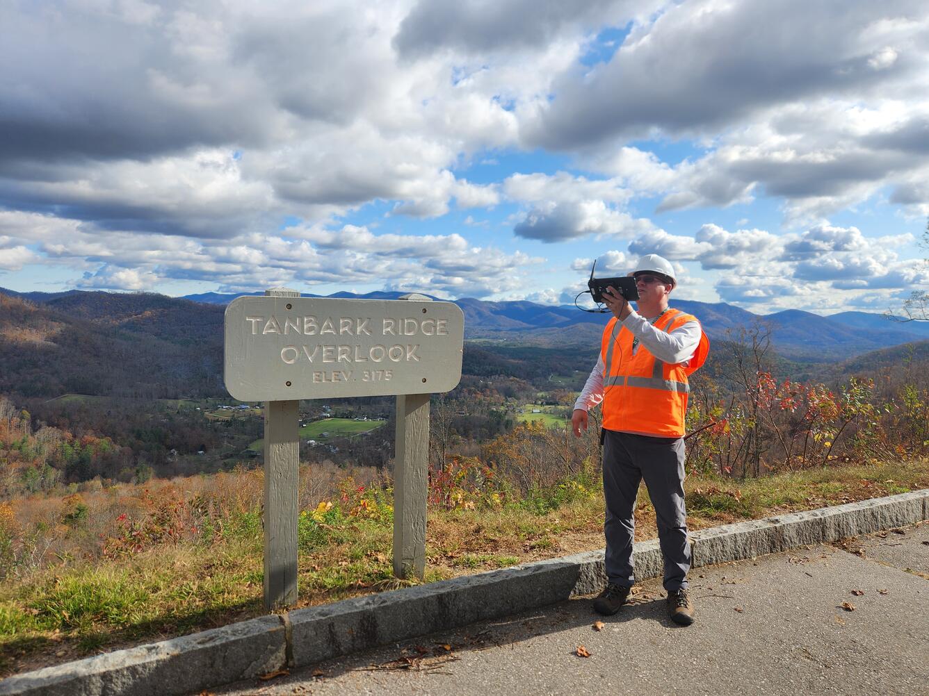
The Blue Ridge Parkway is renowned for its winding path through the rugged Appalachian Mountains. The steep terrain and dense forests make for scenic views but also create a challenging environment for drone operations. U.S. Geological Survey (USGS) remote pilots seek out open areas from which to conduct flights to enable good visibility of their surroundings. In this photo, USGS remote pilot Matthew Burgess conducts a drone flight from the Tanbark Ridge Overlook along the Blue Ridge Parkway.
Sources/Usage
Public Domain.
Related

National Uncrewed Systems Office
The U.S. Geological Survey (USGS) National Uncrewed Systems Office (NUSO) leads the research activities needed to make Uncrewed Aircraft Systems (UAS) data collection an efficient, safe, and cost-effective remote sensing tool for Department of the Interior (DOI) and USGS scientists.
Related
National Uncrewed Systems Office
The U.S. Geological Survey (USGS) National Uncrewed Systems Office (NUSO) leads the research activities needed to make Uncrewed Aircraft Systems (UAS) data collection an efficient, safe, and cost-effective remote sensing tool for Department of the Interior (DOI) and USGS scientists.