
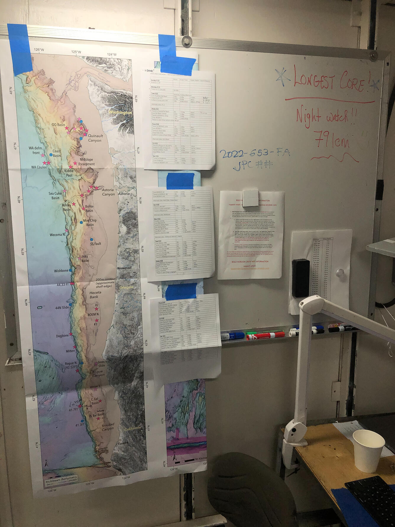
A vertical map taped to a whiteboard shows the length of the Cascadia Subduction Zone in bathymetric detail
Detailed Description
On a whiteboard on the R/V Bold Horizon, researchers taped a vertical map showing the length of the Cascadia Subduction Zone in bathymetric detail. Many data gaps were filled by the cores collected during the research expedition.
Sources/Usage
Public Domain.