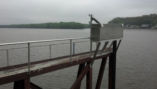
An official website of the United States government
Here's how you know
Official websites use .gov
A .gov website belongs to an official government organization in the United States.
Secure .gov websites use HTTPS
A lock () or https:// means you’ve safely connected to the .gov website. Share sensitive information only on official, secure websites.
Due to a lapse in appropriations, the majority of USGS websites may not be up to date and may not reflect current conditions. Websites displaying real-time data, such as Earthquake, Volcano, LANDSAT and Water information needed for public health and safety will be updated with limited support. Additionally, USGS will not be able to respond to inquiries until appropriations are enacted. For more information, please see www.doi.gov/shutdown.
Learn more about USGS flood activities related to the 2015/2016 Winter Floods. In late Dec. 2015, persistent precipitation accompanied by strong winds and tornadoes blanketed two large bands of area from Texas to Ohio and Mississippi to North Carolina, causing localized flash flooding and then major flooding along the Missouri, Ohio, and Mississippi Rivers.