
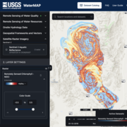
WaterMAP Surface Water and Ocean Topography (SWOT) screenshot on May 7, 2026
Detailed Description
Data from the Surface Water and Ocean Topography satellite (SWOT) within WaterMAP provide time series of water surface elevations for ~467,000 lakes and reservoirs and ~93,000 river miles, with estimates of water level spaced every 200 meters.
Sources/Usage
Public Domain.
Related
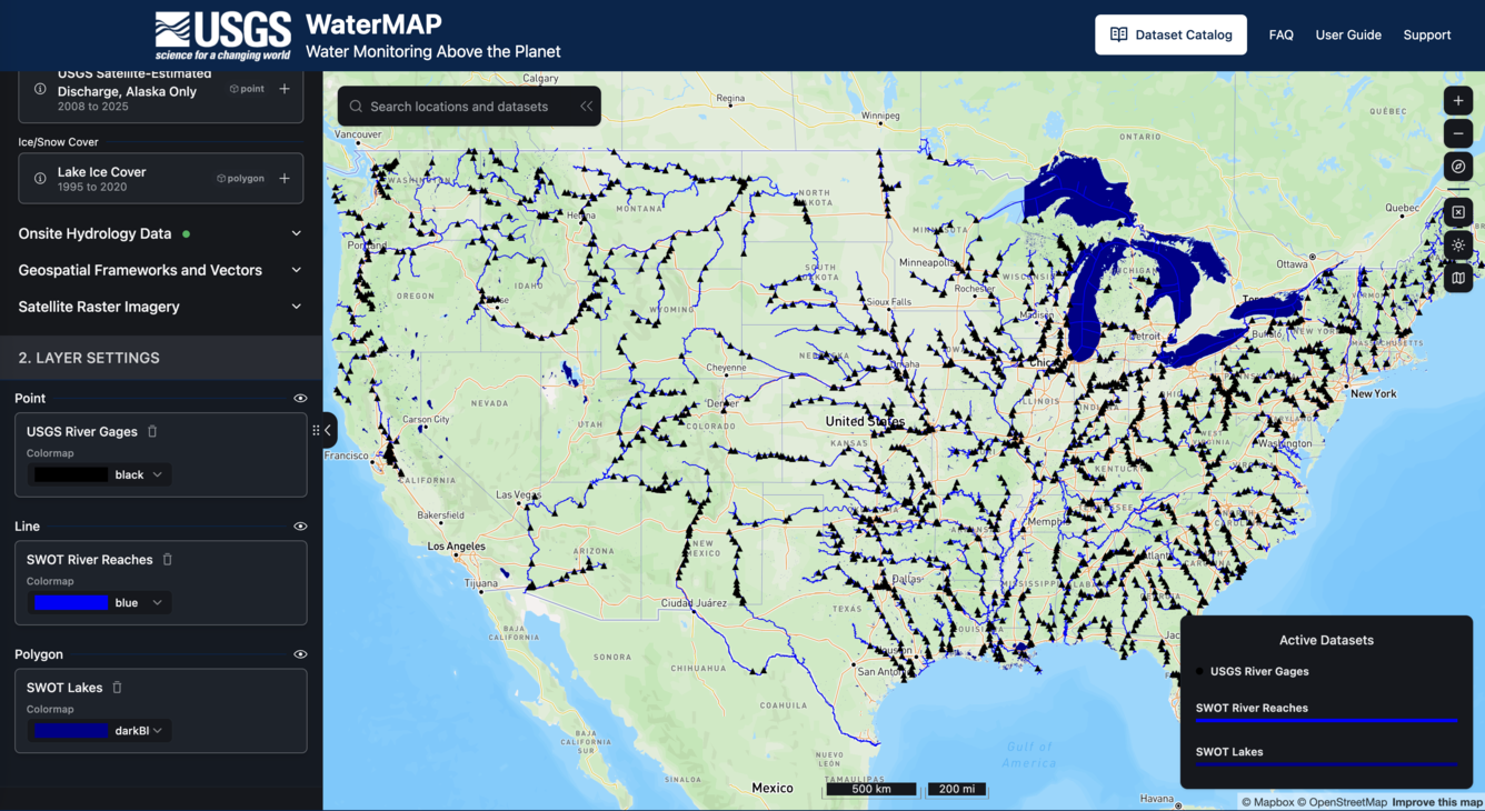
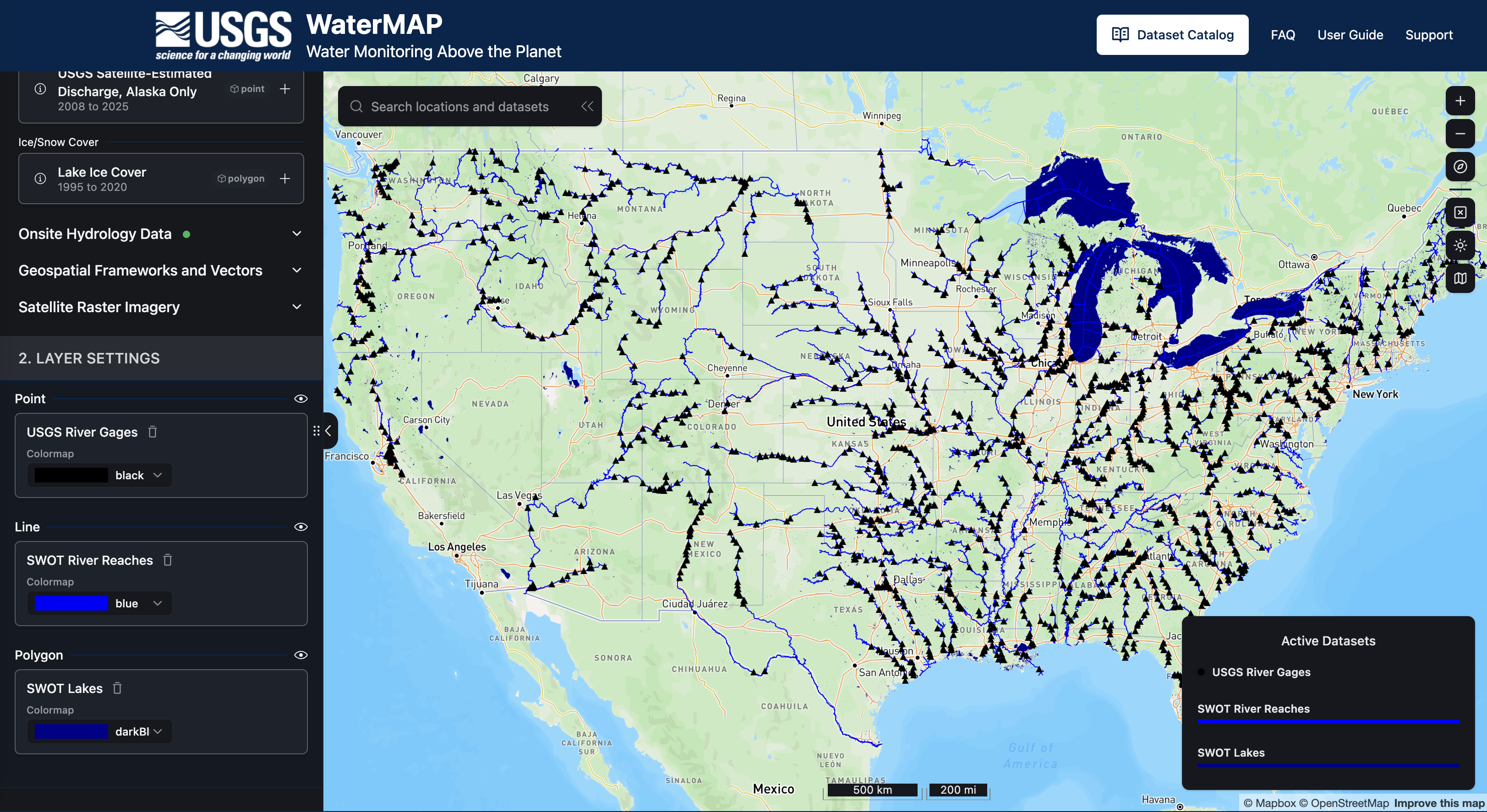
WaterMAP: Water Monitoring Above the Planet
WaterMAP, or Water Monitoring Above the Planet, is an interactive web application that brings together surface water observations across the U.S. The application allows users to explore water conditions over time using both remotely sensed satellite and field measured data.
Related
WaterMAP: Water Monitoring Above the Planet
WaterMAP, or Water Monitoring Above the Planet, is an interactive web application that brings together surface water observations across the U.S. The application allows users to explore water conditions over time using both remotely sensed satellite and field measured data.