
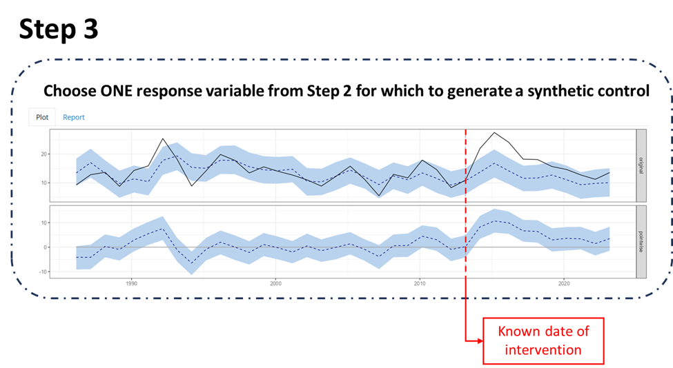
WebDART Tool workflow - Step 3

Detailed Description
Screenshot of WebDART Tool workflow - Step 3
Sources/Usage
Public Domain.
Related

WebDART: A Cutting-edge Web Tool that Evaluates Land Condition
WebDART is an online ecological assessment tool available to a wide audience that incorporates Landsat satellite remote sensing imagery, topography, geology, soil conditions, and rangeland geospatial and vegetation mapping to compare altered terrain with an unspoiled area that has similar characteristics in the same region. The tool gives resource managers, landowners, companies, and other...
Related
WebDART: A Cutting-edge Web Tool that Evaluates Land Condition
WebDART is an online ecological assessment tool available to a wide audience that incorporates Landsat satellite remote sensing imagery, topography, geology, soil conditions, and rangeland geospatial and vegetation mapping to compare altered terrain with an unspoiled area that has similar characteristics in the same region. The tool gives resource managers, landowners, companies, and other...