
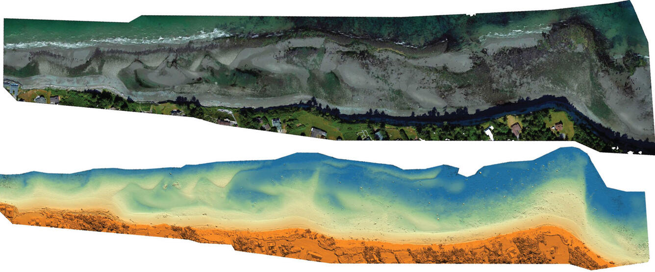
West Whidbey Island, Washington orthomosaic and digital surface model
Detailed Description
High-resolution imagery of the intertidal zone at West Whidbey Island, Washington on June 4, 2019, acquired with an unmanned aerial system (UAS).
Sources/Usage
Public Domain.
USGS data release
Aerial imagery and structure-from-motion data products from UAS survey of the intertidal zone at West Whidbey Island, WA, June 2019