
Mapping the Seafloor Technology and Tools


Detailed Description
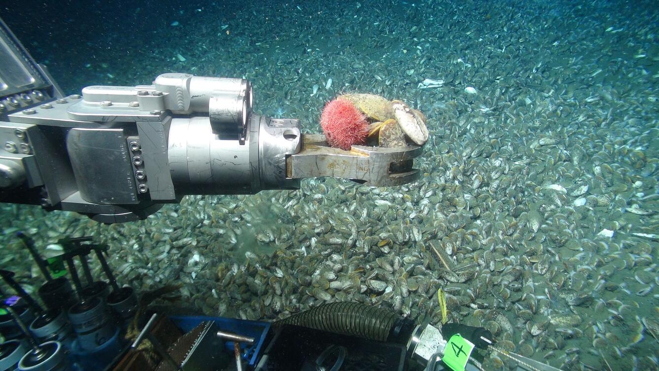
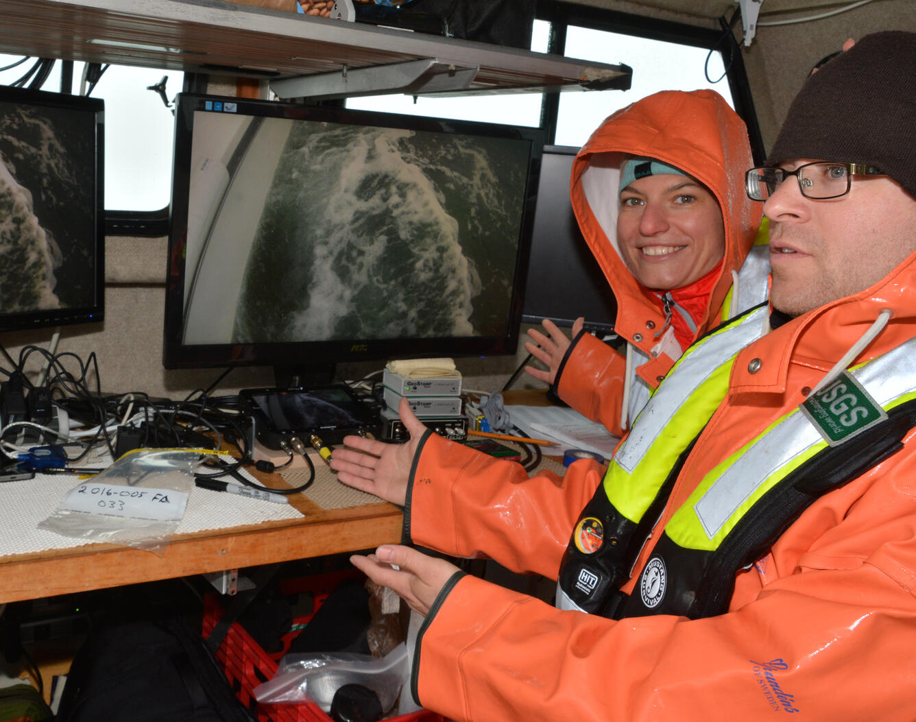
The USGS uses many techniques to collect detailed information about the seafloor, such as its shape, sediment composition and distribution, and underlying geologic structure and sediment type. Scientists and engineers at USGS are continually working to develop innovative methods and technologies to map the seafloor more effectively.
Sources/Usage
Public Domain.