



California coastal topo-bathy survey footage
Detailed Description
Footage of bathymetric and topographic surveys conducted along the California coast.
To improve assessments of the beach erosion hazards of U.S. coastlines, the USGS conducts coastal monitoring of these vulnerable beach landforms. This monitoring results in better understanding of the seasonal, event-based, and long-term changes to the coast and helps with planning for impacts from storms, such as those related to El Niño.
Sources/Usage
Public Domain.
Related
El Niño Coastal Hazards (2026-2027)
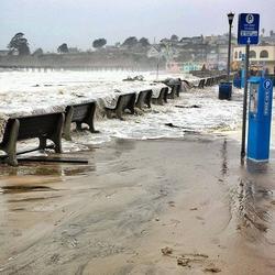
The 2026-2027 El Niño is projected to be the largest and most intense on record. Pacific storms during previous El Niño events have caused widespread coastal hazards along the California coast from flooding and erosion. The USGS is uniquely positioned to assist with coastal monitoring, data collection, science and communications with partners about these pending hazards.
Related
El Niño Coastal Hazards (2026-2027)
The 2026-2027 El Niño is projected to be the largest and most intense on record. Pacific storms during previous El Niño events have caused widespread coastal hazards along the California coast from flooding and erosion. The USGS is uniquely positioned to assist with coastal monitoring, data collection, science and communications with partners about these pending hazards.